|
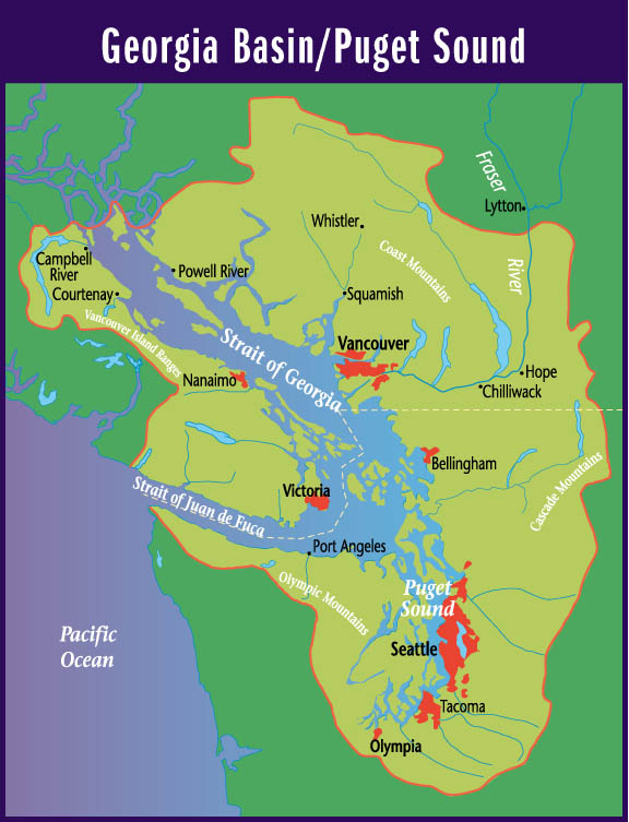
Suggested Locations for the Placement of Environment Canada's New Hydrometric Stations in the Georgia Basin |
| Title Page |
| Introduction |
| Data |
| Methodology |
| Spatial Analysis |
| Problems & Errors |
| Conclusion |
SPATIAL ANALYSIS
Weighted Linear Combination
I now have four factors and one constraint to use for my multicriteria evaluation of suggested locations for Environment Canada's new hydrometric stations.
The most striking thing to notice about Figure 21 is that the snowmelt hydrologic zone really stands out with its high scores. This is not surprising considering that the snowmelt zone was given a high ranking (233) in the HYDROLRANK coverage and that HYDROLRANK was given the largest weight, by far, of all the coverages. It does not disturb me that, clearly, the most preferred locations for new stations will be located solely within the snowmelt zone because this satisfies what my co-op supervisors and I saw greatly lacking in Environment Canada's hydrometric station network. Within this region, the eye can detect stream buffers that are more lightly colored (have higher ranks) than the rest. To precisely pinpoint these locations, I RECLASSed my weighted linear combination image, GBWLC, to give the very highest scores (220 to 230) a value of 1 and all other scores a value of zero. I then took this raster image of a few points and vectorized it. I then overlaid (not OVERLAYed) these points over GBWLC to see where these potential station locations were situated. Figure 23 illustrates these points as well as existing stations.
Click here to see the cartographic model of this process.
I now began to explore the
points in 220VECT to see what their characteristics were and if they were
close to any existing stations (and therefore redundant). I selected seven
non-redundant locations in the summer snowmelt hydrologic zone that also
tried to address the underallocation of stations to particular stream orders.
The following table gives links to the seven potential hydrometric stations.
| Station 1 |
| Station 2 |
| Station 3 |
| Station 4 |
| Station 5 |
| Station 6 |
| Station 7 |
Finally, here is the map
showing the seven suggested locations for the placement of Environment
Canada's new hydrometric stations.