Station 7
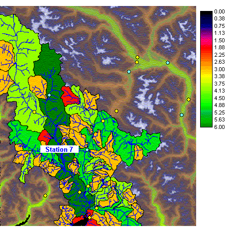
Figure
31a.
Station 7, featuring watersheds.
Station 7
Figure
31a.
Station 7, featuring watersheds.
Station 7 is also located in the South Coast watershed group. There are several stations close by but they sample different watersheds. The station is situated on a river of stream order 3. This is a moderately sampled stream order in the South Coast group.
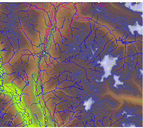
Station 7 can be accessed by a two-lane paved road (purple line). The slopes coverage indicates the immediate area is of slope less than 10 degrees and might be considered for a helicopter landing site.