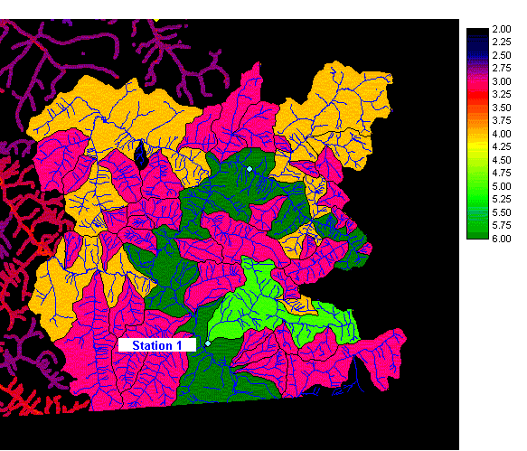
Figure 24a. Station 1, featuring watersheds.
Station 1 is located in the extreme southeast corner of the Georgia Basin. There are no existing hydrometric stations around it. It lies on a watershed of stream order 5. This satisfies the under-representation of this stream order in the Fraser watershed group.
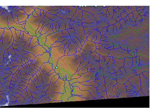
Figure
24b. Station 1, featuring terrain and roads.
Station 1 can be accessed by a one-lane gravel road (green line). It is also situated in a large flat valley of shallow slope suitable for a helicopter landing site.