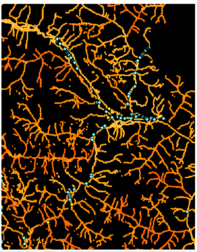
Figure 27. Potential station locations in the north central Georgia Basin.
I draw your attention now to the large cluster of stations, in the north central Georgia Basin. This area required some subjective decision making to weed out what I thought were redundant stations and to pick out station locations that best met the data needs of the watershed group.
Station
4
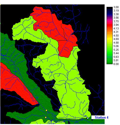
Figure
28a.
Station 4, featuring watersheds.
Station 4 is located in the vicinity of the Lillooet River, in the north central region of the Georgia Basin. There are two existing hydrometric stations (yellow) nearby yet these sample different watersheds than station 4 and have different stream orders than station 4. The station is situated at the mouth of a large river of stream order 5. This is the third new station of order 5 to make up for the lack of such stations in this watershed group (Fraser).
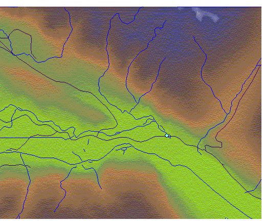
Figure
28b.
Station 4, featuring terrain and roads.
Station 4 can be accessed by a three-lane gravel road (dark line), which is off of a major road (paved, two lanes). The station lies in a large flat valley, with a slope of almost zero, thus providing excellent conditions for a helicopter landing site, if desired.