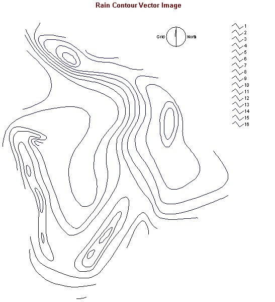
1) In creating the RAINBOOL Image, I also needed an rain elevation model which I created using the vector file with mean annual precipitation contours (RAINCON).

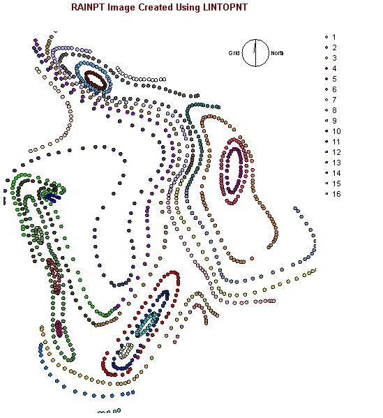
2) With the RAINCON line vector file, I converted it into a point vector file (RAINPT) wich the LINTOPNT function.

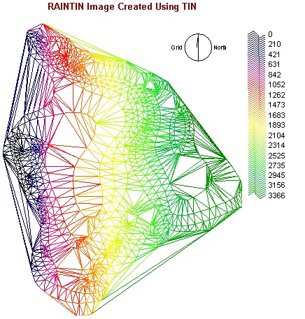
3) The TIN interpolation was applied to RAINPT to create a rain tin surface vector image (RAINTIN).

4) Using the TINSURF operation on RAINTIN produced the rain elavation model (RAINDEM) raster image.
5) By reclassing the RAINDEM image, I created the rain boolean image (RAINBOOL) showing areas with mean annual precipitation greater than 20 inches.
Main 1.0 Conceptual Outline 2.0 Data Collection 3.0 Methodology 4.0 Spatial Analysis 5.0 Methodological and Operational Problems