All GIS data was acquired from the Hawaii Statewide GIS Program and was in ArcView shape format. Layers that were downloaded included:
A) Major Roads
B) Rainfall
C) Elevation Contours - 500 foot interval
Tabular data used to calculate temperature regions suitable for pinapple crop production was aquired from http://www.statlab.iastate.edu/soils/nssc/posters/hawaii.pdf . Since all ArcView datasets included data for all the major islands of Hawaii, I was required to extract the data of the Big Island only and convert it into a seperate shapefile. These shapefiles were then saved as Idrisi vector format in the FME Viewer to be used later for the spatial analysis.

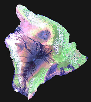
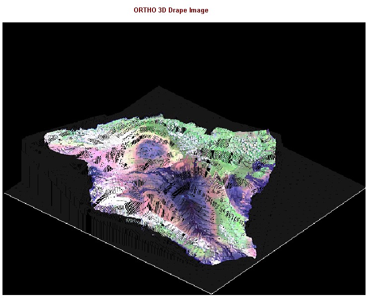
An RGB sattelite image was acquired from Virtually Hawaii to be used as a drape image in creating the ORTHO 3D image of the Big Island.

Main 1.0 Conceptual Outline 2.0 Data Collection 3.0 Methodology 4.0 Spatial Analysis 5.0 Methodological and Operational Problems