| Introduction |
Spatial Analysis
The following is the different processes leading
to the final analysis.
- MULTI-CRITERIA EVALUATION (MCE)
- The Weighted Linear Combination (WLC) method was used
in the MCE. A separate MCE-WLC was applied for the winter
and the summer set. Each of the previous layers are used
as "factors" while an inverted base map (thus
land = 0, water = 1) as the "constraint."
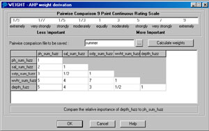
Weight is the same for winter and summer
|
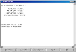
Eigenvector thus is the same too
|
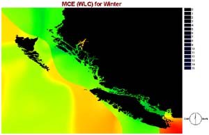
MCE-WLC - Winter
|
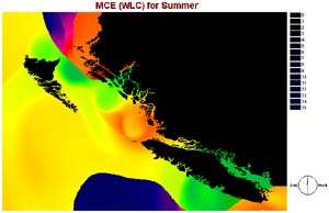
MCE-WLC - Summer
|
-
With two separate MCE results, I combine
them by averaging their suitability factor. This is done because
if a location is highly suitable in one season but very unsuitable
in another season, it may not be as good as another location
that is suitable in both seasons.

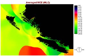
Average from the two seasons
|
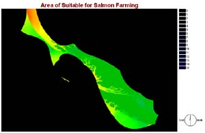
Area suitable for salmon farming
|
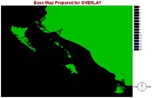
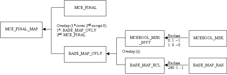
A base map created to join with the map on the left
|
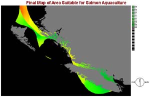
The final map for the analysis, with the base map intact
|
|

