All data points are interpolated into surfaces,
mainly through the spline method.
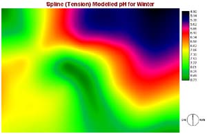
Acidity - Winter
Method: Spline - Tension
Weight: 1
Number of points: 4
|
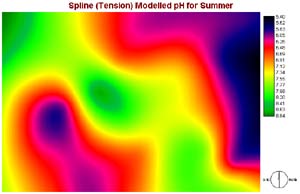
Acidity - Summer
Method: Spline - Tension
Weight: 1
Number of points: 4
|
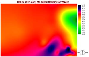
Salinity - Winter
Method: Spline - Tension
Weight: 1
Number of points: 4
|
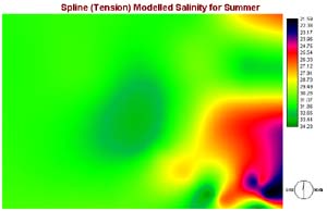
Salinity - Summer
Method: Spline - Tension
Weight: 1
Number of points: 4
|
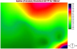
Sea Surface Temperature - Winter
Method: Spline - Tension
Weight: 1
Number of points: 4
|
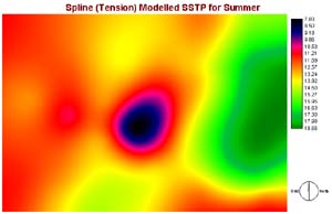
Sea Surface Temperature - Summer
Method: Spline - Tension
Weight: 1
Number of points: 4
|
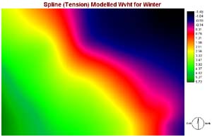
Waveheight - Winter
Method: Spline - Tension
Weight: 4.5
Number of points: 7
|
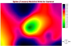
Waveheight - Summer
Method: Spline - Tension
Weight: 4.5
Number of points: 7
|
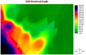
Depth
Method: Inverse Distance Weighted - Nearest Neighbor
Neighbor: 4
Power: 3 |


