| Terrain Modelling | Resources |
|
|
| Terrain Modelling | Resources |
|
|
|
The following form•Z file provides a site boundary and a set of contour lines. The latter are located at the intended heights. You need to download the following file.
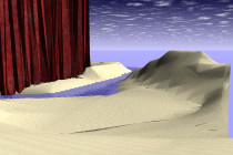
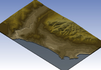
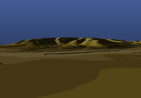
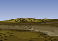
Here is a demonstration of the process of creating a multiple-terrain model of the landform . |
|
Upper image: Rob Woodbury & Tristan Sterk. Lower images: Benjamin Lewis