|
Terrain modelling is a good example of the principle "Enter data once." Why is this so?
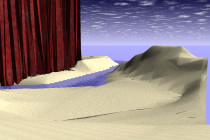
Terrain modelling has a variety of uses beyond the modelling of landforms. It is a very general sculpting tool. Look at the excerpt from the formZ User's Manual handed out in class (pages 4-122 to 4-132) for some examples. How might you use the terrain modelling tool in other contexts?
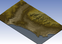
Do you understand how the various choices of terrain modelling types (mesh, step and triangulated) work? Do you understand the effects created by the different settings in each type?
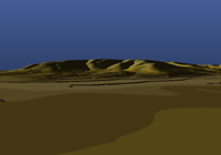
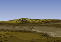
Can you confidently make a mixed-type terrain model?
|