Study Design and
Hypothesis
The
field experiment design
in
a global worming research has been considered using advanced
GISince technology. How to identify the most
sensitive areas
in
response to the global worming has brought out very interesting
questions in terms of applying GIS technology into decision maker.
Unlike
a traditional experimental design, so called “bottom up” approach,
GISince provides a “up-down” approach from a small scale to large
scale. In the project, it will be demonstrated that
sensitivity
analysis of detecting the most suitable experimental areas on the
global climate changes research in HaiBei Alpine Tundra
Ecosystem Station in Qinghai-Tibet Plateau of China.
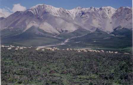
The influences of global worming on different ecosystems have
demonstrated the variety of feedback mechanisms. Looking for Carbon
release and sink are very important questions that need to be answered
from small scale in the global warming research project. The
landscape is changed within 20-50
kilometers, the elevation may be varied from 1000 to 2000 meters in the
Qinghai-Tibet Plateau. The vegetation types may varied from forest, to
shrub and to alpine Tundra. The higher mountains is covered by
glaciers,
where the vegetation reaches their up boundaries. The soil
organic are deposited within 20 centimeters because the lower
temperature in this environment reduces the decomposing rate. The
experimental areas need to exclude the human activity such as grazing
influences. The temperature and soil moisture are important factors
that affect vegetation growth and organic decomposition. And the
extreme higher slope will make hard to carry out experiments. Since the
GIS technology already demonstrated many cases on solving decision
problems in many ways, using Multi-criteria evaluation (MCE) and
Weighted Linear
Combination (WLC) is a challenge that I can to obtain valuable results
to support experimental design in global warming
research.
Hypothesis:
1. Is it possible to use GIS technology to detect the most suitable
experiment areas for the global warming research?
2. Where are these most suitable experimental areas and how they are
related to spatial scale?
 Previous
Home
Next
Previous
Home
Next
