|
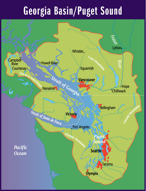
Suggested Locations for the Placement of Environment Canada's New Hydrometric Stations in the Georgia Basin |
| Title Page |
| Introduction |
| Data |
| Methodology |
| Spatial Analysis |
| Problems & Errors |
| Conclusion |
METHODOLOGY
- CONTINUED
2. Hydrologic Zonation
In our paper, "Hydrologic and Climatic Zonation of Georgia Basin, British Columbia", my co-op supervisors and I identified three regions where stream hydrology was driven primarily by winter rainfall, summer snowmelt, or a combination of the two. We also noted that the majority of hydrometric stations were located in the rainfall-dominated and transition zones with very few being located in the snowmelt zone (Figure 4). This created a data under-representation issue.
To address this issue, in allocating new hydrometric stations to the three zones, for my multicriteria evaluation I decided to give greater weighting to zones that had fewer stations located within them. Figure 4b shows the allocation of stations by zone. I converted this current allocation into a ranking, or priority rating, of the zones. Table 3 illustrates how this is achieved. The proportion of stations that each zone currently possesses is subtracted from 1. This number is multiplied by 256, to convert them into relative suitability values. 1 is subtracted to account for the fact that the suitability range is from 0 to 255. The final result gives regions with a smaller proportion of stations a higher ranking.
In IDRISI, I took my Rain, Snow and Trans raster coverages and RECLASSed these zones according to their rankings. I then CONCATenated these to a single coverage, called HYDROLRANK.
Click here to see the cartographic model of this process.
It should be noted that,
in giving the snowmelt zone the highest ranking, higher elevations and
interior locations are also given higher ranking, since the snowmelt zone,
for the most part, possesses these characteristics.
3. Watershed Stream Orders
A third criteria for finding new, ideal locations for Environment Canada's hydrometric stations is the stream order of a given watershed in a particular major watershed group. I discussed in the Introduction how this is analogous to selecting watersheds, for a hydrologic network, based on their catchment area (Rowntree et al. 1994). Figures 7a,b,c show the distributions of stations by stream order. As with hydrologic zonation, there is under-representation of hydrologic data in watersheds of some stream orders in the three watershed groups.
For my multicriteria evaluation, I weighted watersheds in a manner similar to that for the hydrology zones. Table 4 illustrates the ranking method. It should be noted that although there are a varying number of stations in each major watershed group, the priority ratings assigned to watersheds with stream orders that are particularly under-represented are essentially the same across groups. For example, the second-most under-represented stream orders in each group have rankings of 239, 229, and 228, respectively. Similarly, the stream orders in each group with the highest number of stations have rankings of 175, 171, and 174 respectively. This similarly in weightings, despite the different number of stations in each major watershed and the different distributions according to stream order, leads me to believe that my ranking system gives accurate preference to watersheds with under-represented stream orders, regardless of where they are located in the Georgia Basin.
In IDRISI, I took the coverages of the watershed stream orders of the three watershed groups and ASSIGNed them rankings according to stream order. Then I CONCATenated the three of them together to produce watershed rankings for all of the Georgia Basin. This I called WSRANK.
Click here
to see the cartographic model of this process.
4. Proximity to Streams
The final criteria to consider in this analysis is, of course, proximity to streams. (Hydrometric stations do need to be located on streams!) I have estimated that transportation criteria beyond 200 meters from streams are too far away to be factors in determining suitable locations for placing new stations. That is, I believe 200 meters is the maximum that someone would be willing to walk, from a helicopter or a road, to reach a station. (I know, from my own field work with Environment Canada, that we usually walked less than this distance because most often stations were located very close to roads.) Note that 200 meters can be assumed to include the length of the helicopter landing pad, since it is specified to be only 30 meters (100 ft) in length (1).
To create this image, I merely used the BUFFER module on my ALLSTREAMS coverage to create a 200 meter buffer around each and every stream and river. I called this constraint for my analysis STREAMBUFF.
Click here
to see the cartographic model of this process.
REFERENCES
Rowntree, S., R.M. Leith, N.L. Wade, and P.H. Whitfield. 1994. Application of RAISON to Spatial Interpretation of Hydrologic Data. Proceedings of GIS 1994. pp 729-734.
(1) Canadian Helicopters
http://www.chc.ca/
(2) SARNAK Search and Rescue
of the Northern Adirondacks
http://faculty.plattsburgh.edu/jan.plaza/sarnak/sop/05-helicopter.html