IMAGES
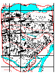 Study
Area Study
Area
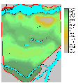 Elevation Elevation
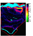 Slope Slope
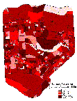 Population
(before standardization) Population
(before standardization)
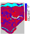 Population
(after standardization) Population
(after standardization)
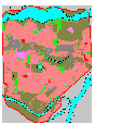 Land
use Land
use
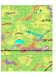 Coverage
holes (dB Planner) Coverage
holes (dB Planner)
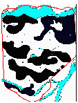 Coverage
holes (digitized), and sites Coverage
holes (digitized), and sites
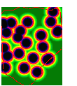 Distance
to Existing Cell Sites, Standardized. Distance
to Existing Cell Sites, Standardized.
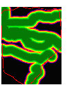 Distance
to Major Traffic Corridors, Standardized. Distance
to Major Traffic Corridors, Standardized.
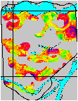 Suitability
Image Suitability
Image
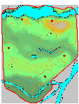 Final
Site Selections Final
Site Selections
[
Introduction
] [ Overview ] [ Data
] [ Methodology ] [ Analysis
] [ Results ]
[
Image
Gallery ] [ Contact Me ] [
Links
]
|


