[Index] [Project Home] [Conceptual Outline] [Cartographic Model] [Data Collection] [Spatial Analysis] [Operational Problems]
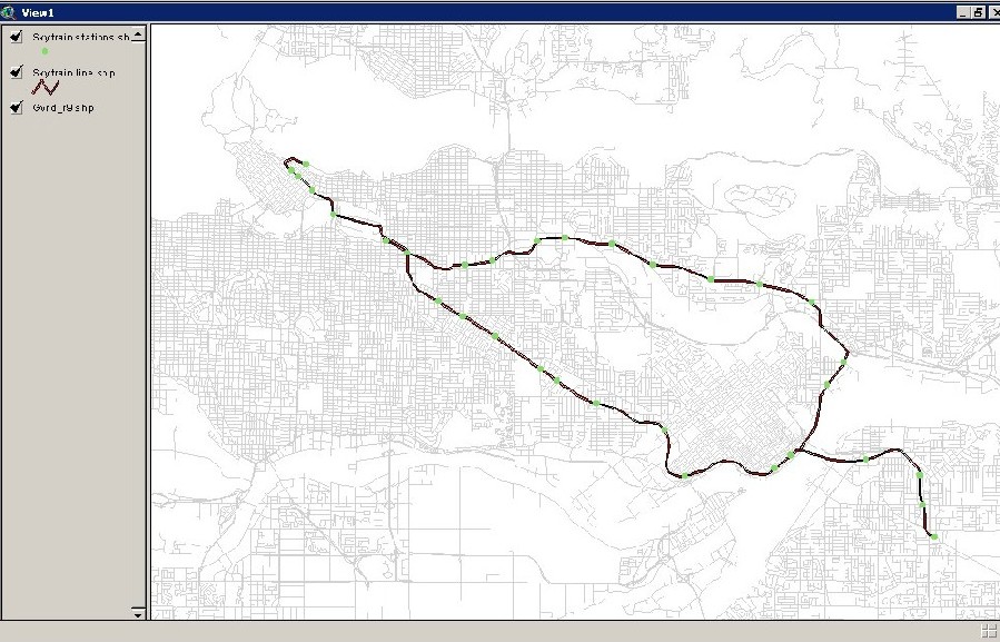
For this project, the use of Multi-Criteria Evaluations were necessary as there would be a series of factors that would be taken into consideration to find the optimal location for a new Olympic venue. Vector data which included the Skytrain Line and Skytrain Stations had new points and areas added onto the dataset before being converted into Idrisi Vector Format.
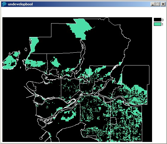
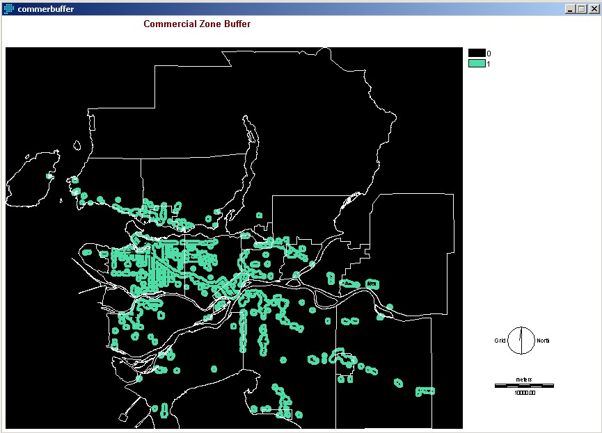
Land use information (undeveloped, commercial, park, industry, extractive industry, watershed) underwent the RECLASS operation which provide a Boolean image.
This was done for a number of different land groups which was then followed with a BUFFER operation.
You can see everything done for this project here.
[Index] [Project Home] [Conceptual Outline] [Cartographic Model] [Data Collection] [Spatial Analysis] [Operational Problems]