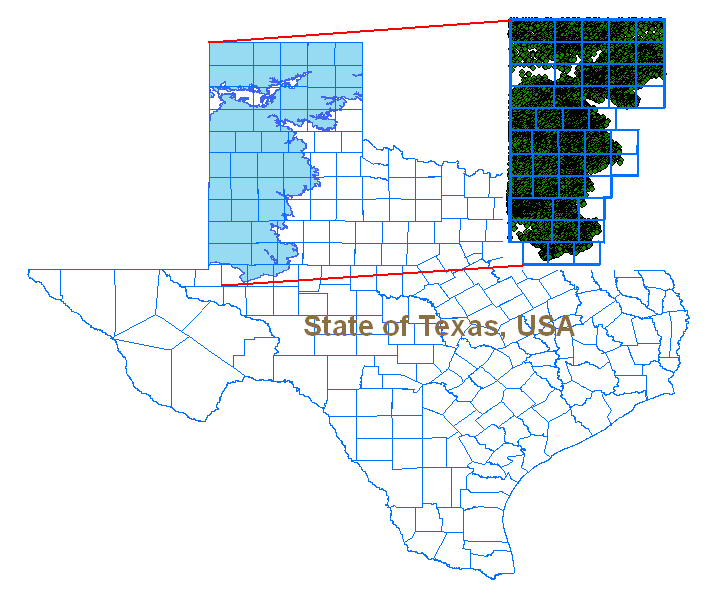
As mentioned in the
Data Aquisition section, each county had a separate ranked value in the Well_Rank field of the Ogallala Counties attribute table. Sorting this field revealed the ten counties with the most wells. These were:
Bailey, Briscoe, Carson, Deaf Carson, Donley, Hale, Gaines, Lubbock, Randall and Swisher. With this data converted to Idrisi format, the well density file was ready for use in the
multi-criteria evaluation.
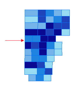
The creation of the ranked precipitation map is discussed in the
Data Aquisition section. Once this map was generated, it was noted that the two driest regions on the Ogallala aquifer were in the western counties especially in the southwesternmost corner of the region. Once the ranked precipitation file was converted to Idrisi format, it was ready for use in the
multi-criteria evaluation.