The initial data manipulation for this project was done
in ArcView, but the majority was performed in Idrisi. Most of the City
of Vancouver data was able to be used directly, without any additions or deletions,
but some needed to be culled a little bit to make it more useful to me. The
Skytrain and bus route layers were from the Translink dataset, and were not
divided up along municipal boundary lines. So I had to remove the parts
of those layers that fell outside Vancouver city lines. Here is the
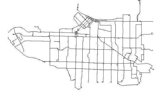
resulting Bus route Vector layer:

Importing to Idrisi:
When converting from Vector to Raster, the INITIAL function asks you to specify things like the projection, northing/easting, units of measure, and the resolution of the raster image you are importing. All of the layers were projected using UTM Zone 10N, measured in meters. I used 350 rows and 350 columns to generate the raster layer, as this seemed to give me the best compromise in resolution and continuity. I had problems when using 500x500 layers, where there would be gaps in the coverage where there shouldn't be. It wasn't a question of zooming in, since when I ran simple distance calculations, they followed the gaps in the layer. Through some trial and error, I settled on 350x350 for my layers.
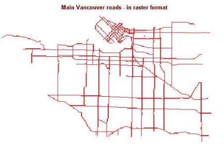
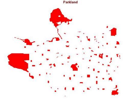
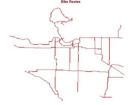
Once I created the layers, I had to convert the vector files to raster format, using the LINERAS, POINTRAS, and POLYRAS functions. Here are some of the results of these operations:
The Main roads: Parks:


Bike routes:

On to the Spatial Analysis!
Importing to Idrisi:
When converting from Vector to Raster, the INITIAL function asks you to specify things like the projection, northing/easting, units of measure, and the resolution of the raster image you are importing. All of the layers were projected using UTM Zone 10N, measured in meters. I used 350 rows and 350 columns to generate the raster layer, as this seemed to give me the best compromise in resolution and continuity. I had problems when using 500x500 layers, where there would be gaps in the coverage where there shouldn't be. It wasn't a question of zooming in, since when I ran simple distance calculations, they followed the gaps in the layer. Through some trial and error, I settled on 350x350 for my layers.
Once I created the layers, I had to convert the vector files to raster format, using the LINERAS, POINTRAS, and POLYRAS functions. Here are some of the results of these operations:
The Main roads: Parks:

Bike routes:
On to the Spatial Analysis!