Most of the data for this project was found in the City
Of Vancouver folder on the SIS drive. I also found information about
the bus and Skytraiun routes from the Translink folder on the same drive.
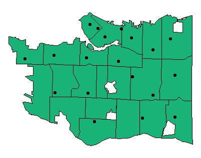
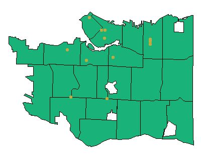
In addition, I digitized 2 layer of data myself, the Fire Department
locations, and the major Shopping locations. I got the Fire Department
locations from the Vancouver Fire and Rescue Service's
Firehall location page
. The addresses for major Shopping areas was found at BCPassport's
Shopping page
. Using the Street network data from the SIS drive, I found the appropritae
locations for the shopping areas and firehalls on the map, and added a point.
These each became a separate vector layer in ArcView, along with the
City of Vancouver data.


Every firehall is represented on the map, except for the detachment at UBC. This is because the rest of the City of Vancouver data did not include UBC, so I left it out in order to keep the layers consistent. Not every shopping area is represented on the map, since I would probably still be digitizing if that were the case. I decided to restrict the additions to the major areas, such as Oakridge, Pacific Center, Robson Street, and Commercial Drive.
In total, I used 9 data layers for this project. They are, in no particular order, the Main streets, Side streets, bus routes, Skytrain route (original and Millenium line), park area, shoreline, bicycle routes, firehall locations, and shopping areas.