This further expansion is
also hinging on the talent pool not being stretched too thin. To dilute
the market too much would kill the finical benefits of holding a cartel
of NFL franchises discussed at
Dollars and Sense
.
The top down design allowed me to accurately create factors and weights
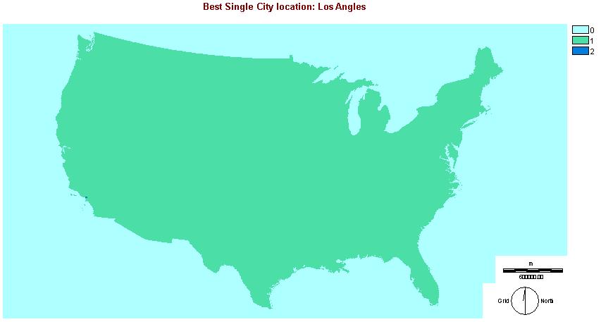
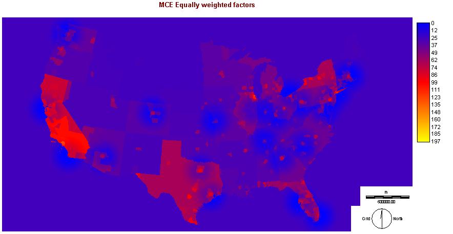
for NFL frachises. The map of the US can be seen to show regions that are
as of yet unexploited. The factor analysis allows a narrowing of locations
of NFL teams to sectors of the country but does not give me the intended
result of a ranked list of city locations. For that a subtractive process
of suitability as each team was added to the list would be needed. This can
not be done without N*31 steps of subtraction after creating an MCE layer.
|
Problems not foreseen
This analysis doesn't take into account that a teams win loss
ratio will greatly affect it's fan base. If a team does not win only the
die hard fan is going to attend. The longer a team is in an area the more
loyalty they will show a team.
The city data was very informative and useful for many aspects of the
project. Unfortunately the city data is stored in point. This does not
translate well into raster format which relies on continuous data for effective
analysis. Above and beyond that reassociating the data with a cities id
value once it is lost is difficult.
So in other words I forgot one of the cardinal rules of GIS that the
type of analysis is suitable to the software being used.
Using cities as my base unit for the project the scale becomes very
difficult to measure across the entire US. The relative size of a city does
not show up on a map of the US unless zoomed in.
|
Intended but unaccomplished Analysis
- To overlay all the cities with the raster MCE to create an
ordered list of cities based on suitability
- To create an Integral function to increase the effected area
of a city based on its size. e.g.. A more populace city would have a larger
footprint or an area having more youth would allow further travel.
- Basically I wanted a buffer function that would expand based
on size and weight.
|


