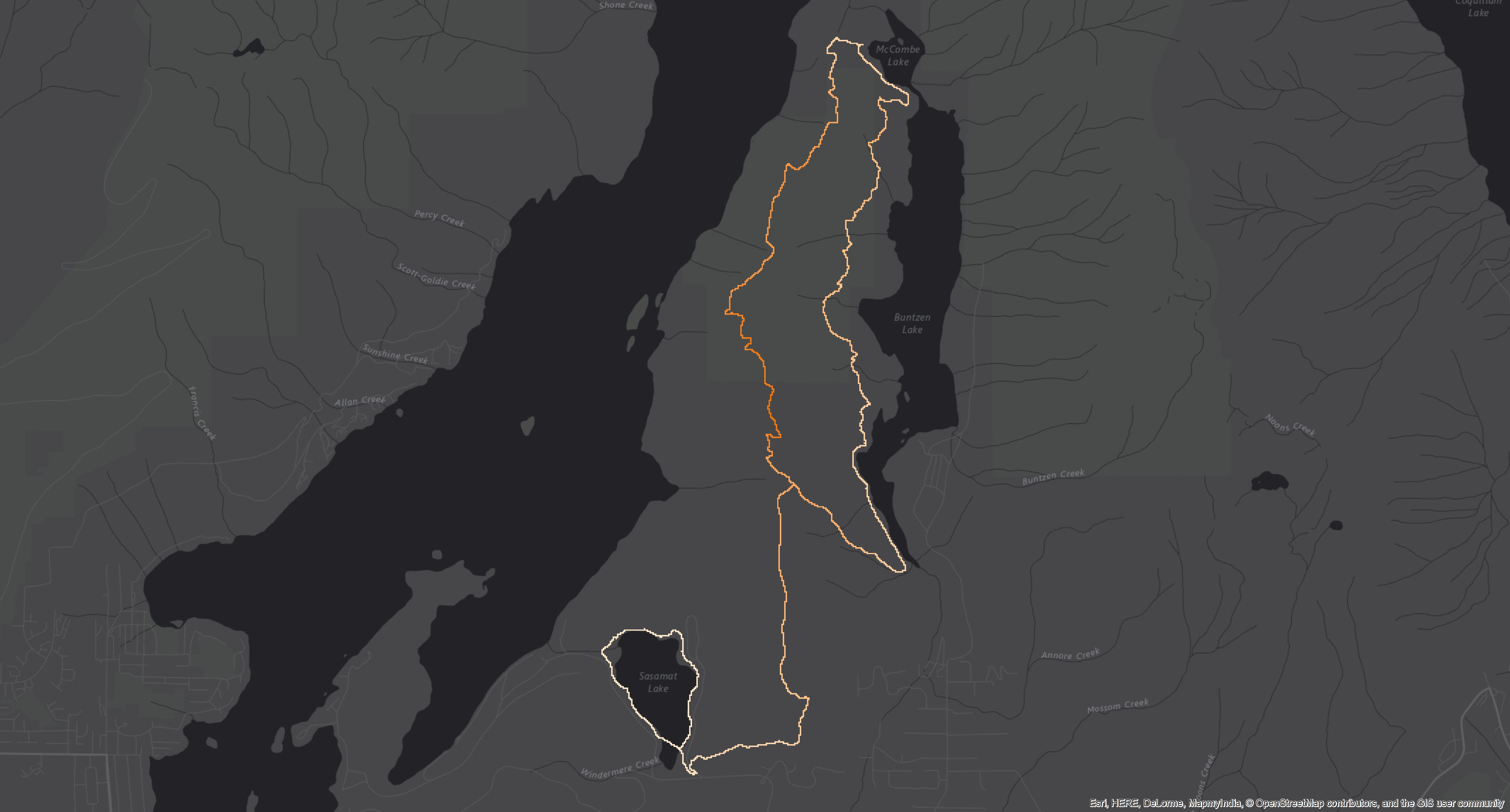
Methodology - 2D Maps

For our project, 2D static maps were created for each race within the Coast Mountain Trail Series. With the use of spatial datasets, i.e DEMs or TRIM, high resolution satellite images, and with the use of the new VGI method, 2D maps has the ability to convey visually appealing, cartographically accurate and useful maps (Korpilo et al, 2017). Therefore, GIS provides a structured means to display complex data elements with multiple data layers (Snyder et al, 2008). 2D maps has the opportunity to provide users with a simple, straightforward design, and with value added analysis to showcase the needed information.
The 2D maps were created within Esri’s Arcmap. High resolution DEMs were incorporated within each map in order to obtain the elevation for each trail. By showing the elevation and slope, the users and runners of the trail races can pinpoint the locations where the trail becomes steep. Users can also pinpoint the elevation gain of locations.
GPS coordinates were transformed into a polyline, which was then overlaid with a 5m DEM to derive the slope of the trail. Since the use of DEM’s is a more raster based technique, rather than the vector technique that is being used, each trail had to be transformed into a smaller cell size in order to minimize the look of pixels.