


Introduction
Someone is injured by fire everyday in British Columbia (District of Central Saanich, n.d). In BC, every ten days there is a fatality associated with fire and it is estimated that fire damages amount to $410,000 per day (District of Central Saanich, n.d). People between the ages of 20 to 44 have the highest percent of burn injuries; while younger children aged 1 to 4 have the second highest rate (District of Central Saanich, n.d).
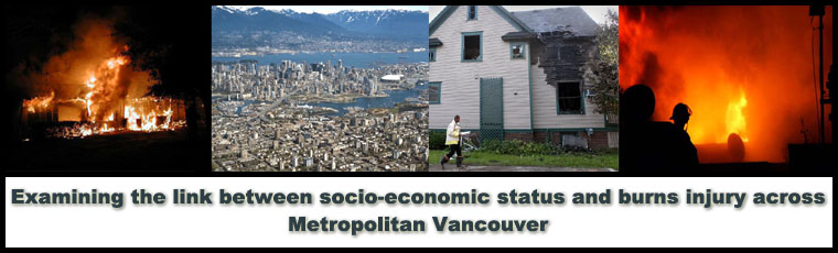
Burn injuries are a serious health concern across BC and it is important to delve into what makes some people more susceptible to burn injuries and how these injuries are distributed over space.
The objectives of this study were to:
- Assess the link between socio-economic status (SES) and burn injuries across Metropolitan Vancouver
- Use Geographic Information Systems (GIS) to map burn injuries and SES, and determine any correlation
- Use the Vancouver Area Neighbourhood Deprivation Index (VANDIX) developed by Bell et al. (2007) to map SES
- Review literature on GIS and health research, burns injury, socio-economic status, and socio-economic status and its relationship to burns injury