
USING IDRISI AS A DECISION SUPPORT GIS
Constraint 4 - Aspect and Slope
Digital elevation map (DEM) of the Greater Vancouver area is used to deduce both areas that are south facing and those that are relatively flat (less than 2.5 degrees).
Using the module SURFACE, two surfaces are created:

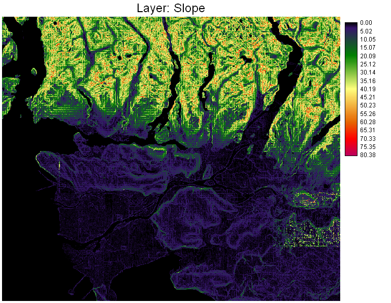
These are surfaces representing aspect (in degrees) and slope (in degrees). They are then reclassified using the module RECLASS, to find areas that satisfy the requirements (south facing and less than 2.5 degrees, respectively)
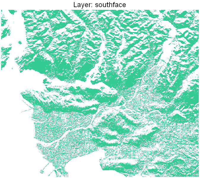
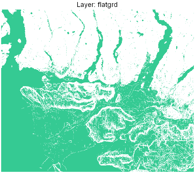
These layers are named SOUTHFACE and FLATGRD, respectively.
Copyright © Nicholas Y. L. 2008
Department of Geography
Simon Fraser University