USING IDRISI AS A DECISION SUPPORT GIS
Result and Problems
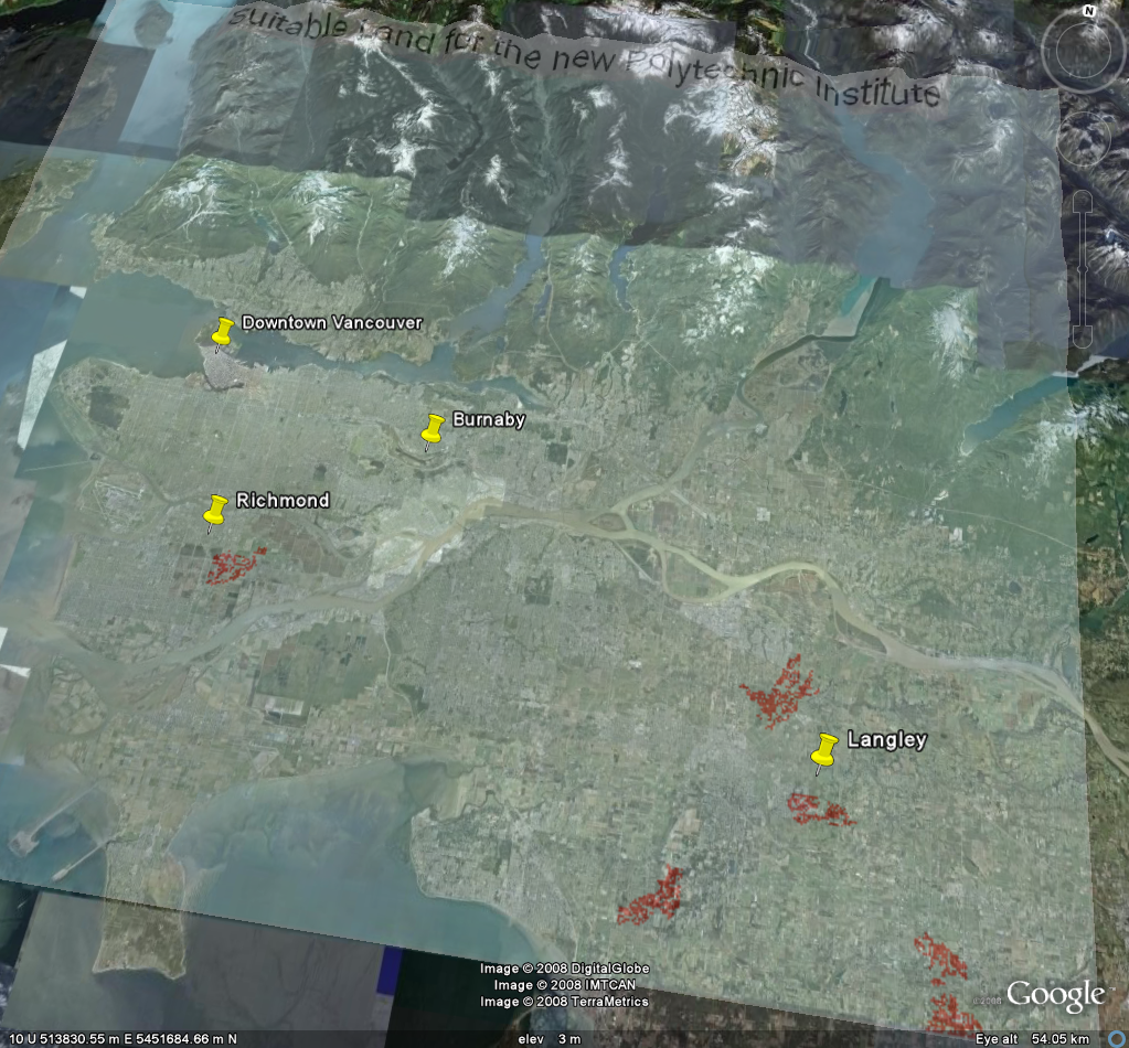
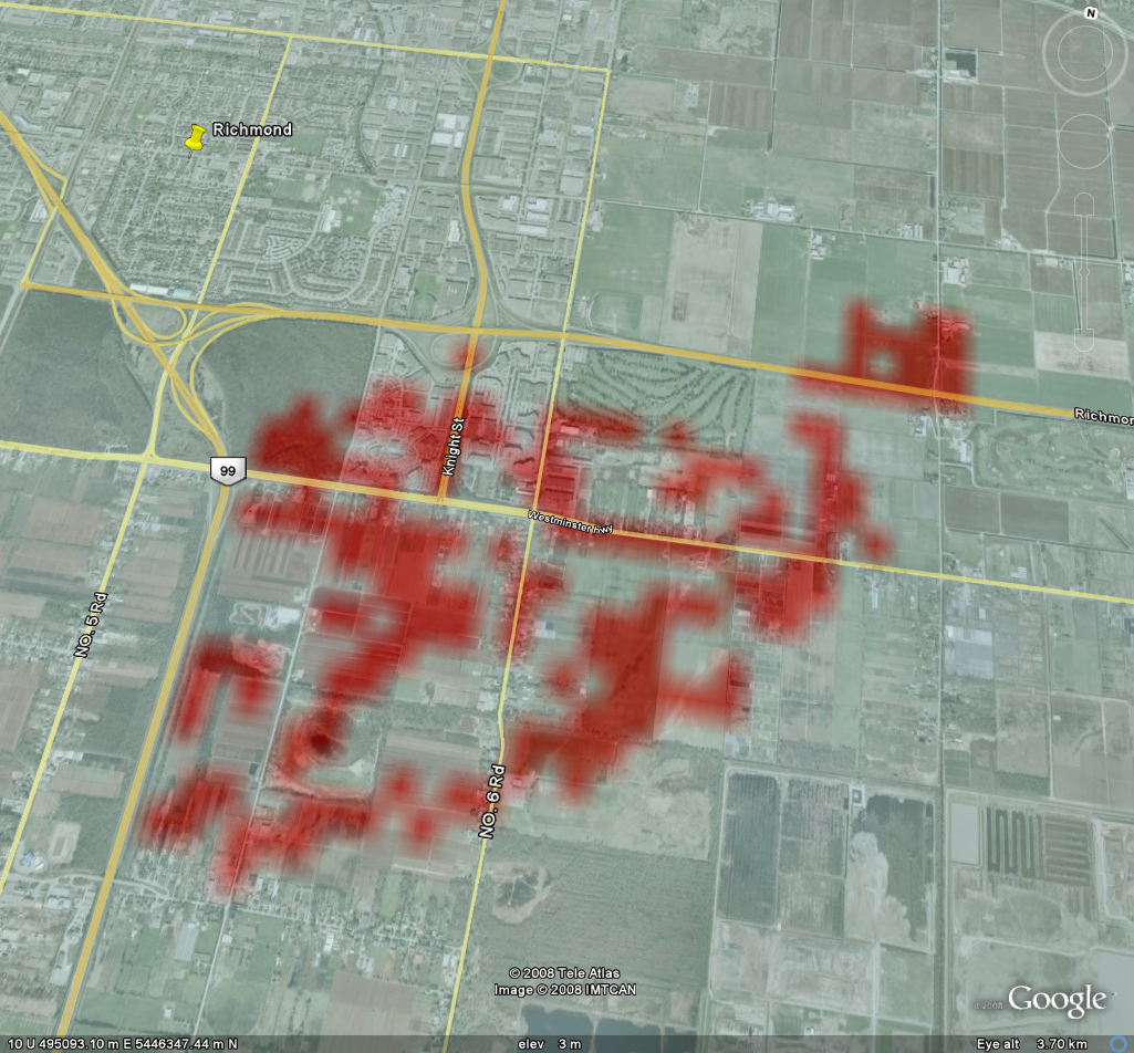
In order to know exactly where these 5 areas are, they are imported into Google Earth and overlayed on top of the Greater Vancouver area.
There is one developable area in Richmond, the rest in Langley. Upon more careful examination, it is noticed that only two of the five areas are genuinely 'available'. The rest of them all have problems.
Problem area 1:
The problem with this area is the fact that it is occupying both sides of the border. It can be argued that this was an error that occurred when overlaying an image in Google Earth. Imprecision occurs very frequently in this environment. One could also argue that it may not be the right place to establish a school, since it is so close to the border.
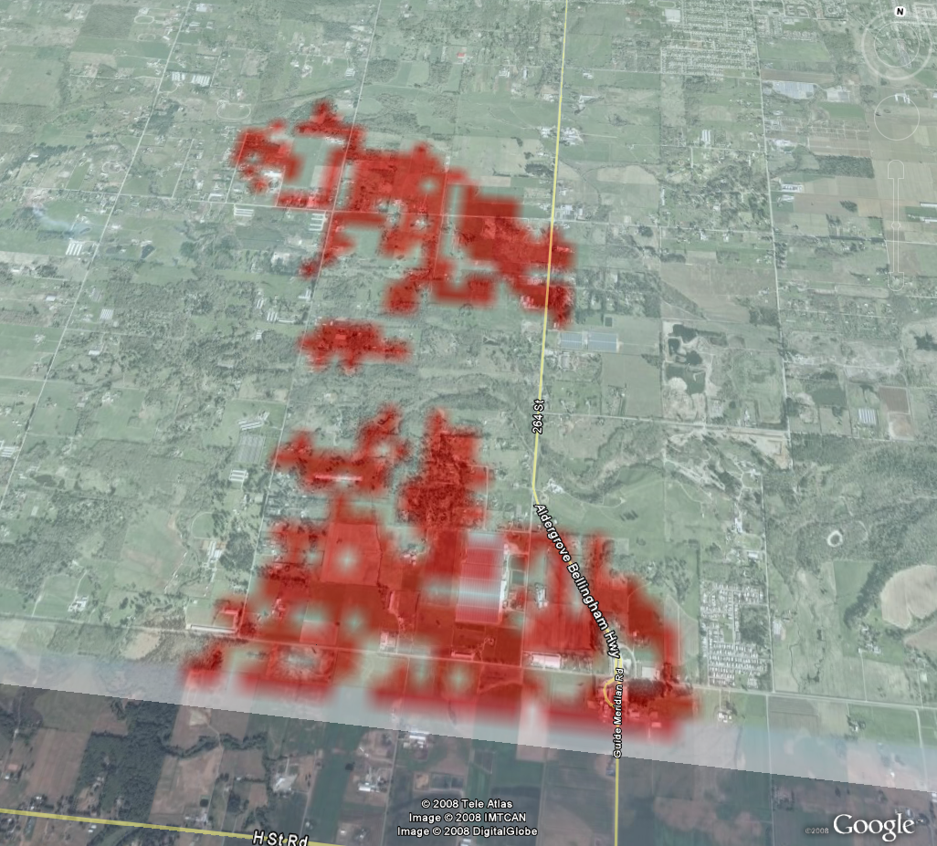
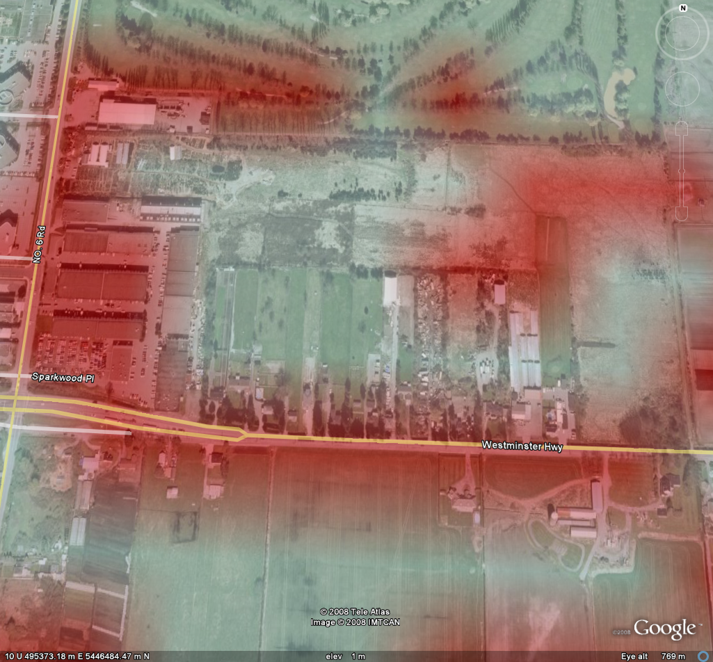
Problem area 2:
This area is almost entirely farmland. It is not likely promoted to completely turn farmland into a school, regardless of its perfect location.
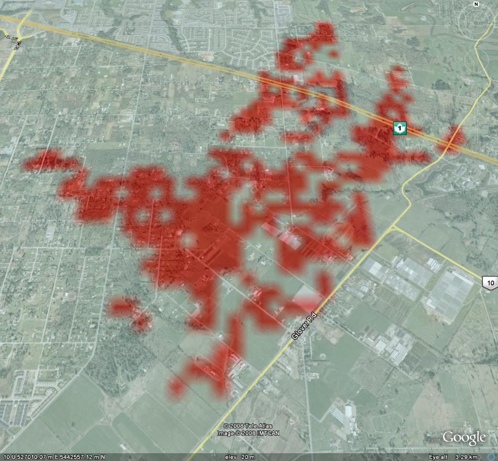
Problem area 3:
The dataset is from 2001, and since then there has been some major changes in the suburban areas like Langley and Delta. This is a perfect example. This area is fully developed with newly built subdivisions. The housing developers spotted the area as a favorable place to build as well.
Suitable area 1:

This area is situated near Highway 99 as well as other major streets. It is relatively undeveloped and has a large area. It does have a shortfall in that it is relatively further away from Downtown Vancouver and other densely populated areas. Therefore, although it is close to a highway, commuting time may ultimately be a factor that discourage development at the site.
Suitable area 2:
Compared to the rest of the sites, the Richmond site has the most potential of being turned into the next polytechnic institute. Its proximity to roadways, sizeable undeveloped land and the fact that it is near densely populated areas make it the best area for the school.
This dump site can be relocated. Development of a school in the heart of Richmond could be a much more postive event than that of a dump site.
This project explored the use of GIS as a decision support system. By visualizing every criteria, it is a much more powerful way to analyze spatial data than the traditional methods that involve papermaps and datatables of all sorts.
Copyright © Nicholas Y. L. 2008
Department of Geography
Simon Fraser University