Data Collection
Data for this project were created from an aerial photograph of the unviersity shot in 2004 by Selkirk Remote Sensing for SFU Campus Planning. It was converted to UTM Zone 10 NAD83 projection by Jasper Stoodley in 2005, and has the incredible resolution of 10 centimetres.. It is available in the SIS Lab Data Warehouse, and was retrieved in October 2008.
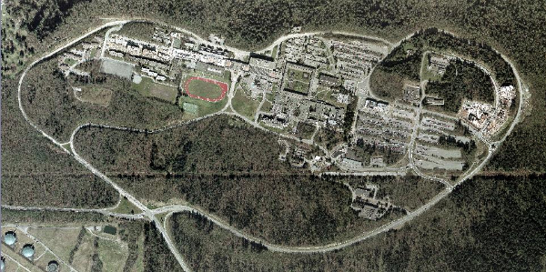
Aerial photograph of SFU, 2004
The photograph was then digitized in ArcMap and Idrisi to display landuse data specific to the project. Buildings were digitized in ArcMap, while paths of high traffic were digitized in Idrisi.
I also created a vector image of what I considered to be high traffic pedestrian pathways on campus. These would later be used to lessen the frictional difficulty of any land use, as high traffic pathways have proven themselves to at least partly overcome these difficulties.
The two layers were then combined with OVERLAY and RECLASS.
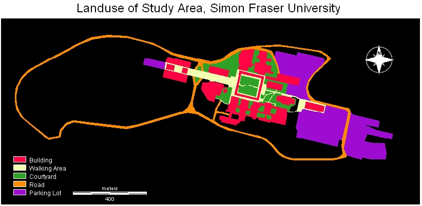
Landuse of Study Area, click to enlarge
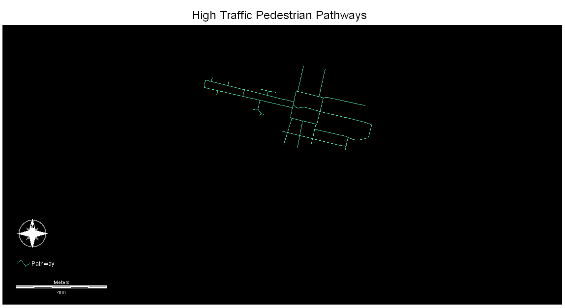
High Traffic Pedestrian Pathways, click to enlarge
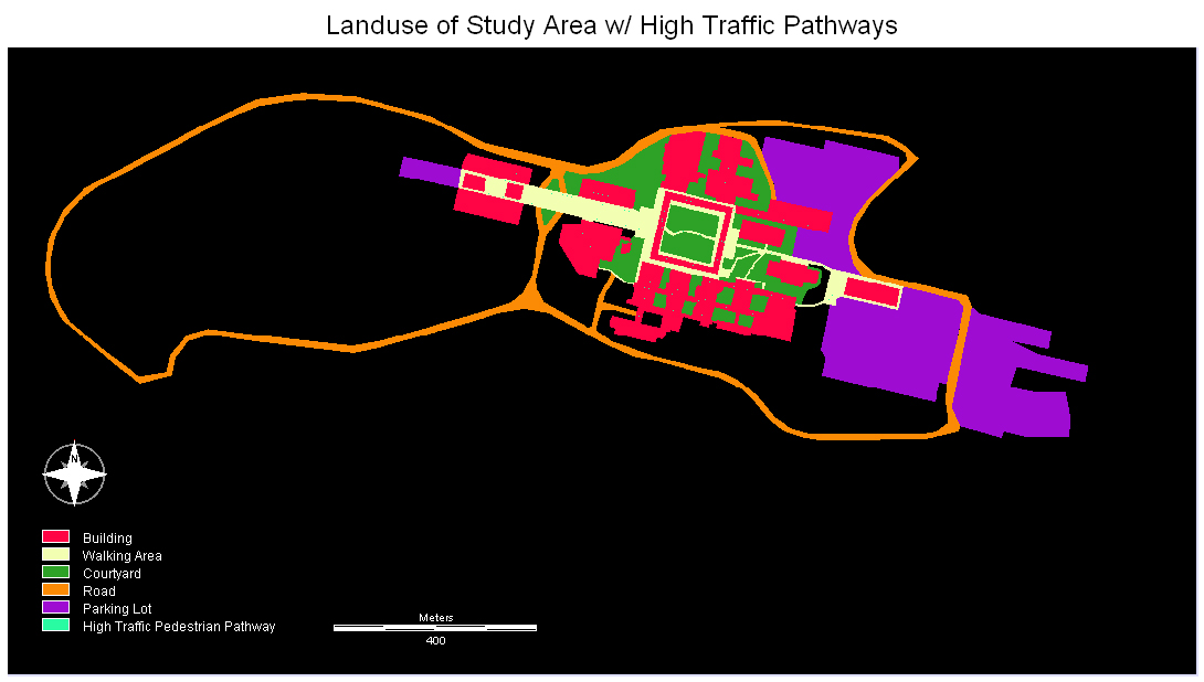
Combination of High Traffic Pedestrian Pathways with Landuse, click to enlarge
Note: the pathways are difficult to see on a .JPG image
The location of the bathrooms then needed to be digitized. To do this, I travelled the campus on foot and manually entered the location of each bathroom I found. Students and staff in each building were surveyed to find out the location of bathrooms which were not accessible to me, and this was a valuable resource. Problems with this method of data collection are noted on the Methodological Problems page, but were not considered to be too detrimental given the scope of the project -- if a washroom couldn't be easily located, its accessibility was too low to be considered publicly accessible!
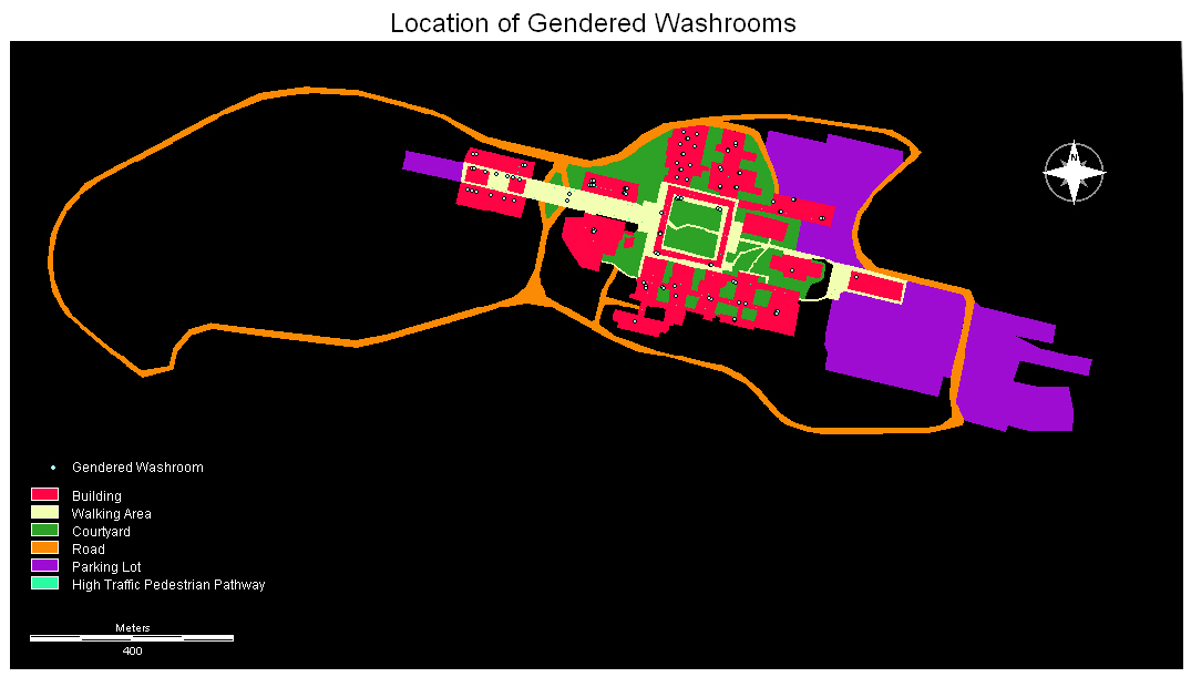
Location of gendered washrooms, click to enlarge

Location of gender neutral washrooms, click to enlarge
Copyright © Lindsay Dignall, 2008