Once the data was imported into Idrisi I needed to use the PROJECT Module to ensure that all layers were being projected with the same number of rows and columns and using the same projection. In the case of this analysis the Albersus projection was used
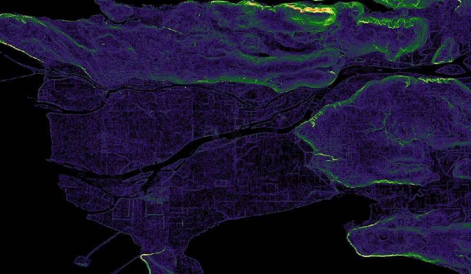
With the DEM imported from ArcMap I was able to calculate the slope of the area in question using the SLOPE module. Because I would be performing a non-boolean standardization and weighted linear combination I needed to use the RECLASS module in order to create the slope image that could be used.

(Slope image before RECLASS module)
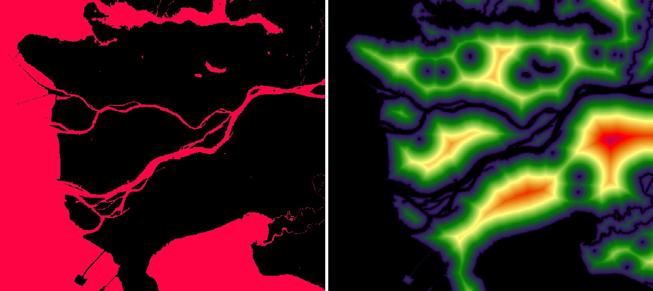
Because I used the factors dealing with proximity to water, roads, commercial and industrial land I needed to create distance images for each of these. To do this I created Attribute Value Files for each landuse required (water, roads, commercial and industrial). For each landuse type I used the ASSIGN module with the respective .avl file to create a Boolean image for each. With these Boolean images I was able to use the DISTANCE module to create distance images for each of these factors.

Water Boolean (Assign) vs Distance from Water (Distance)
In addition, in order to specify landuse types that would be suitable I created an .avl file giving each landuse type a value from 0 to 255 (0 being unacceptable and 255 being the most suitable). Landtype given a value of 255 included Open and Undeveloped, Commercial and Commercia/Residential Mixed. Both Residential (rural) and Residential (Single family) were given values of 75; however, Residential (townhouse and low-rise apartments) was given 125 and Residential (high rise apartments) was given 200 due to the fact that these areas are generally in downtown cores and close to commercial districts. All other land types were given values of 0 and deemed unacceptable. With the .avl file I used the ASSIGN module to create the multi class Landuse image to be used in the weighted analysis.

 Methodology