 |
|

Analysis Part BPart B. Pyroclastic Surge Hazard AssessmentThis part consists of two steps:
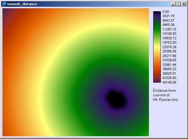
The maps produced in these steps were used in an MCE to determine relative pyroclastic surge hazard. 1. MCE Factor 1: Distance from the lahar sourceThis factor simply uses the summit_distance surface from the last section (repeated below as a reminder)
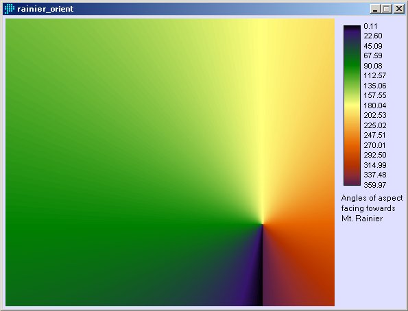
2. MCE Factor 2: Orientation towards the summit of Mt. RainierThe second factor, degree of orientation towards the summit, was more complex to create. I used the Pixel Location module to create two new images with the x and y UTM coordinate values stored. I subtracted the coordinates of the summit of Mt. Rainier from these images, to produce two more images, called dx and dy. Then, using the Image Calculator, I created a new image with arctan(dy/dx). However, the arctan function produced only angle values between -90 and +90 degrees, so each quadrant of the image had to be corrected separately, by adding multiples of 90 degrees. Finally, this produced an aspect image (rainier_orient) with each pixel’s aspect pointing directly towards the summit.
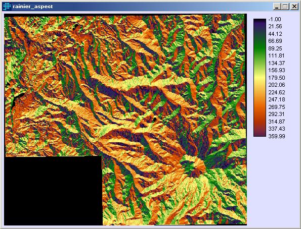
Next, I used the ASPECT module on the small DEM, to find the orientation of each point on the surface (below).
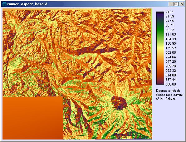
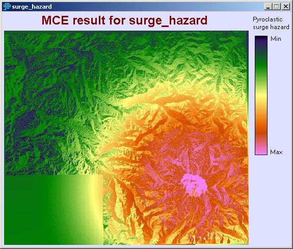
Then, to find the correspondence between the real-world aspect and the aspect of maximum hazard (facing towards the summit) I used image calculator and subtracted rainier_orientation from the aspect image. In the resulting image, areas of maximum hazard were smaller values, so I inverted the values in the image, again using image calculator. This produced the final image shown below, where slopes oriented directly towards the summit have the highest values (maximum hazard). These two factors were combined in an MCE using weights of 0.7 for distance, and 0.3 for hazardous aspect. The distance factor was set to monotonically decreasing, which meant that with increasing distance from the volcano, the hazard value was reduced. The results of the MCE are shown below.
Next: Results >> |