FLEETING TERRITORIES – MAPPING MALTA
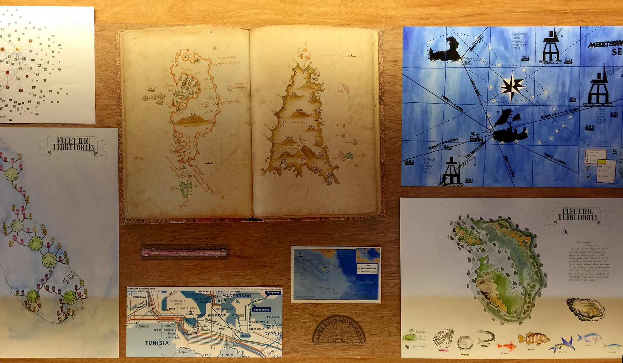
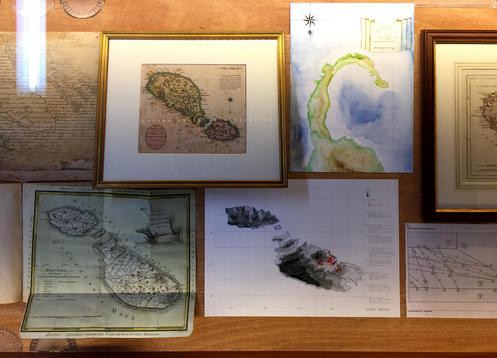
This collaborative exhibition project takes maps and map-making as framing devices to look back at the history and speculate on the future of Malta´s many layers of space: be it Maltese airspace, maritime space, or the terrestrial space of the island, it becomes clear that the territories of the island fluctuate between the imagined and lived spaces of its society. It takes on a task to unsettle the objectivity of the map and to speculate about subjectivity, and appearing as well as disappearing territories due to the politics of mapping. It fosters an understanding of maps and map-making; that a map is a marker of interest and a projection of desire.
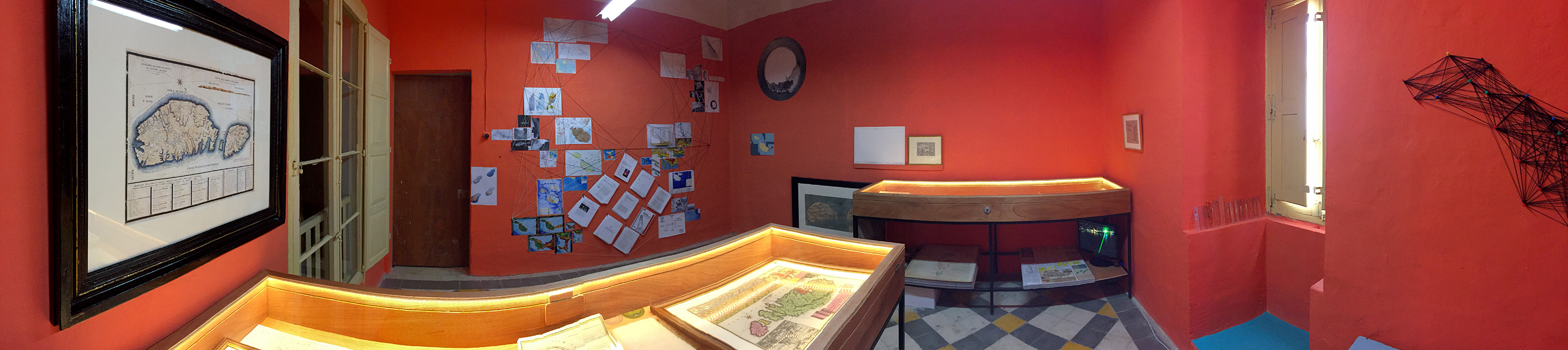
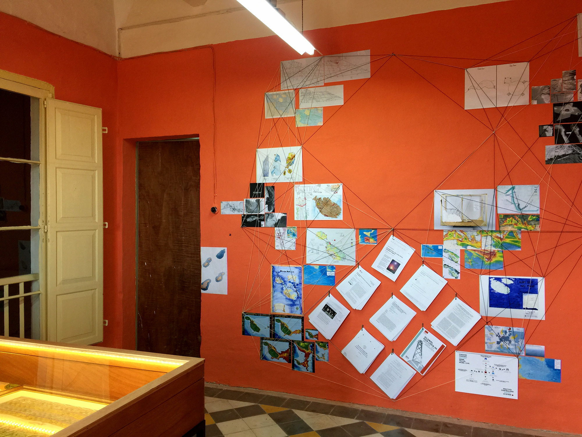
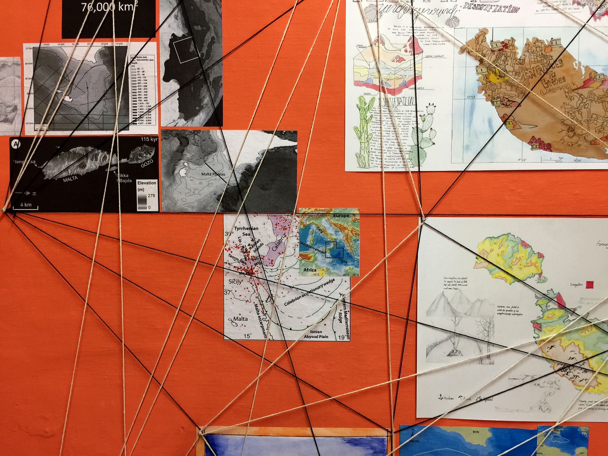
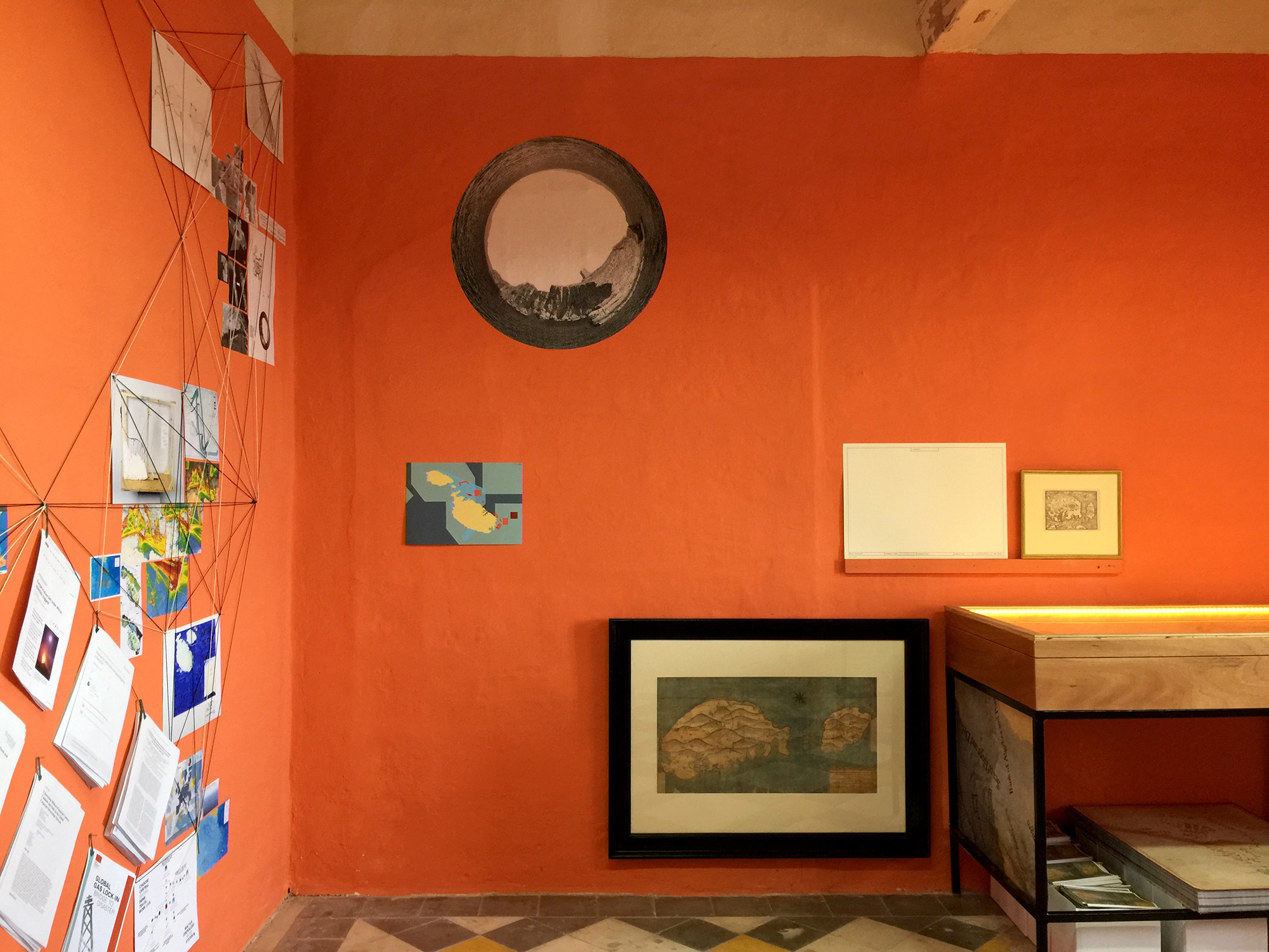
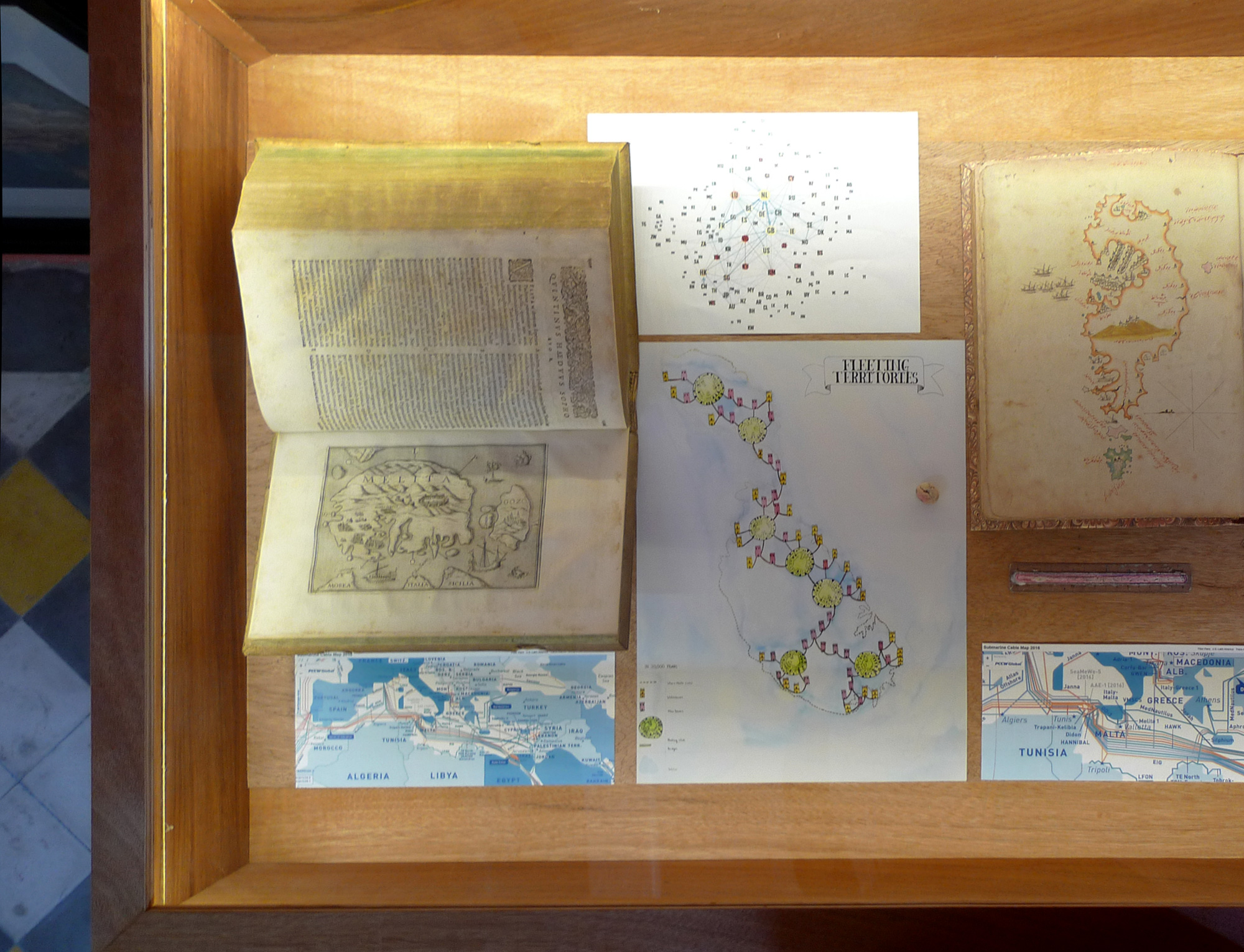
The exhibition and research space includes historical maps and books from the Malta map society as well as projections, posters and research material.
Maps developed by students in this course fostered the speculative aspect of maps and map-making and were displayed in relation to original historic maps as well as research material.
Exhibition views:
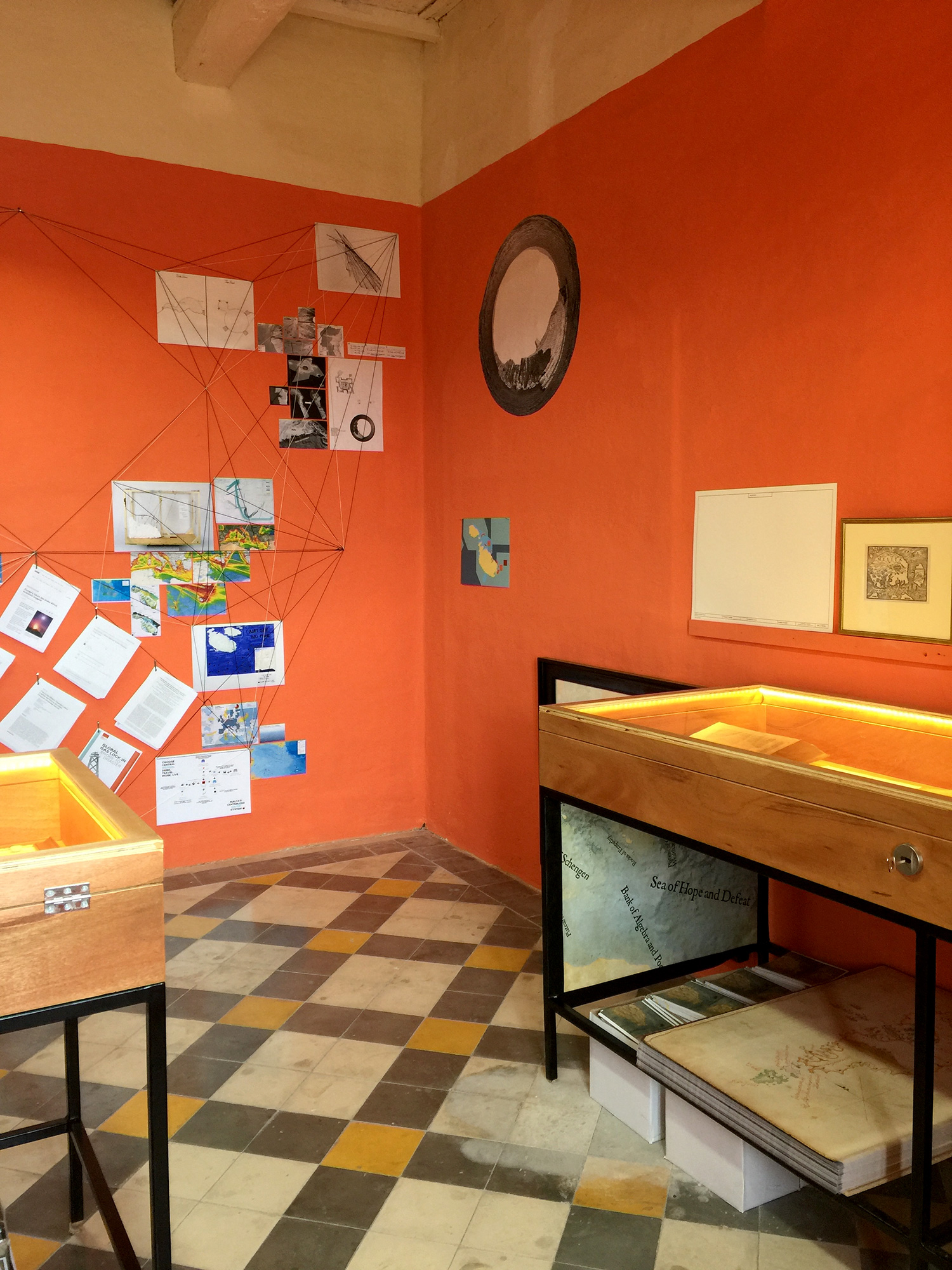
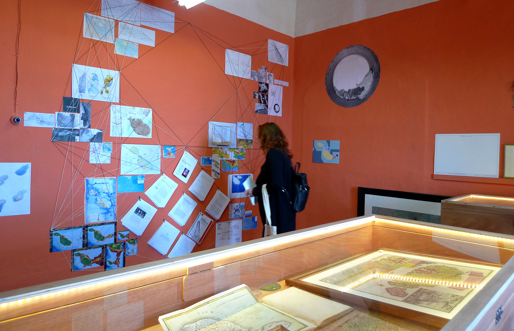
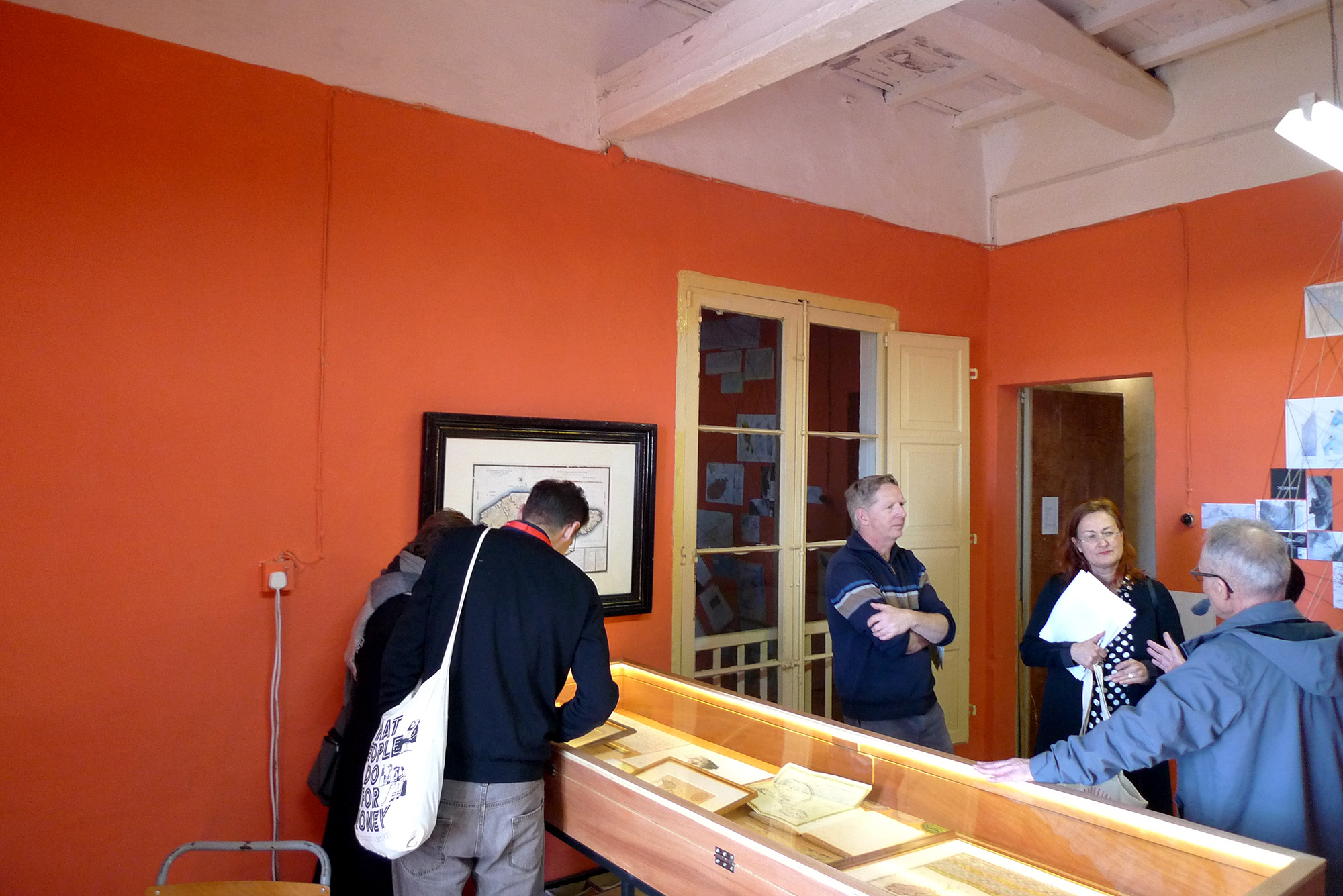
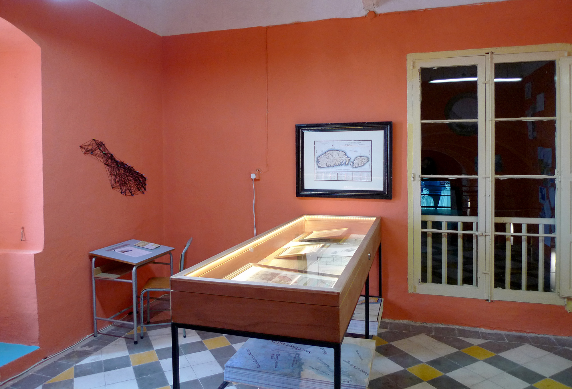
“Dal-Baħar Madwarha” (The Island is what the sea surrounds), group Exhibition at the St Elmo Examination Centre, part of Valletta 2018, Cultural Capital of Europe, Valletta, Malta. March 25 – May 25, 2018.