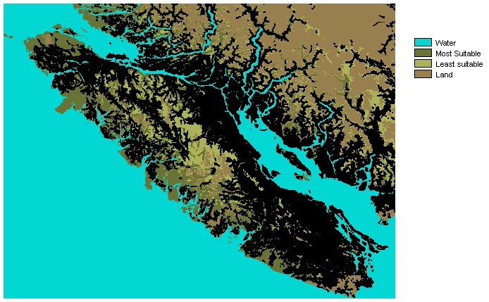
Forest Type
The vector file for old forest was reclassed into 4 suitable biogeoclimatic zones.
(The darkest areas in these images are areas that are the most suitable.)
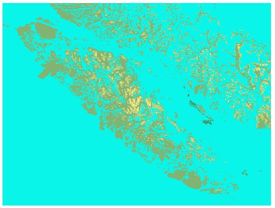
Then the classed biogeclimatic zones were weighted using a linear strech creating a range of suitibility. With only 4 zones, which could be easily classes, this step seems rather redundant however it standardised the data so that it could be processes with the distance data.
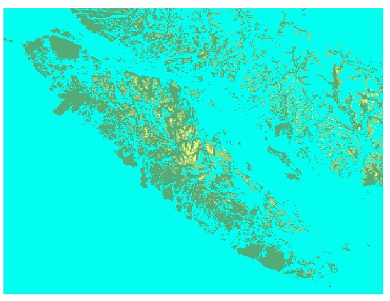
Distance
A distance surface was created from the BC land shape file depicting distance from the ocean. A fuzzy data set was developed from the distance map using a "J" curve. The "J" curve allowed all distances from 0-12 km to be defined as equally suitable and for distance suitability to drop off at 70 km.
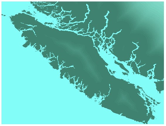
Final Map
The two fuzzy data sets were overlayed and multiplied to produce a map of areas most likely to have Marbled Murrelets.
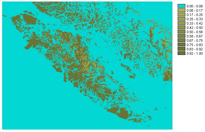
In examining the biogeoclimatic zone map it appears that most of Vancouver Island would be available habitat. However, in the model created in this study, (pictured below) the south eastern portion of Vancouver Island is delineated as habitat for the Murrelets.
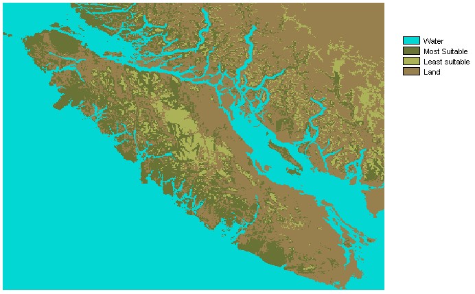
Urban
Urbanization and logging (imaged in black) have seriously reduced the Marbled Murrelet's habitat in this portion of B.C.

Recently Logged
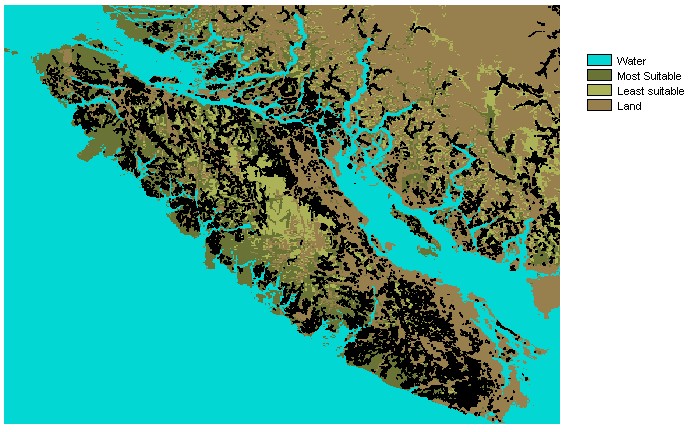
Young Forest (under 140 years old) Large portions of the forest are second growth and thus unsuitable to Murrelets
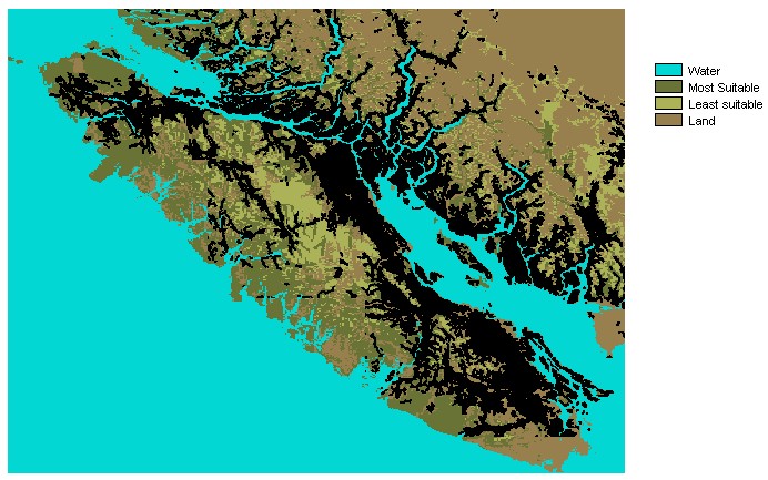
Young forest, recently logged and urban areas combined
