Spatial Analysis
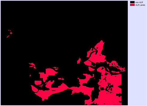
Constraint: ALR Area
Boolean Image of ALR Areas:
Factor 1: ALR area patch size
ALR patches:
![]()
ALR area converted to a fuzzy set:

Factor 2: Population Density Distance
Population Density:

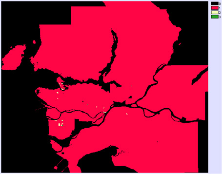
Population density reclassed:
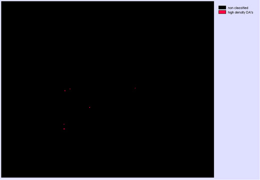
Boolean image of the areas of highest density:
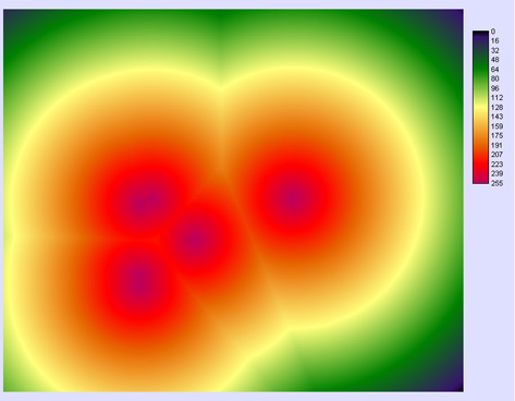
High Density Distance:

High Density Fuzzy Distance:
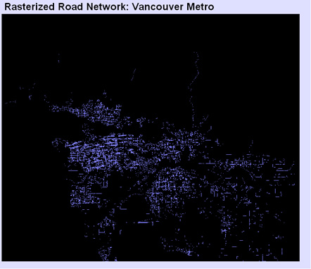
Factor 3: Road Network
Raster Road Network Image:
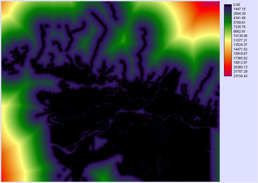
Road Distance :
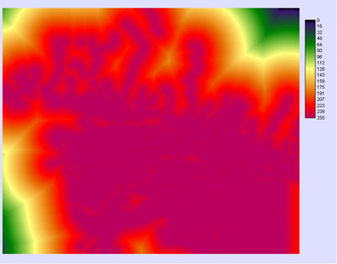
Fuzzy Road Network Distance:
Factor Weights:
Weighting Module Interface in IDRISI:
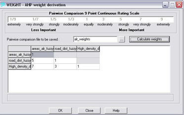
Inputing the values into the table generated the following weights:
area, patch size : 0.0719
Fuzzy Road Distance: 0.2790
Fuzzy High Density Distance: 0.6491
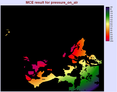
MCE Analysis output image:
Reclassed Risk Index:
