USING IDRISI AS A DECISION SUPPORT GIS
Constraint 2 - Close to Highway
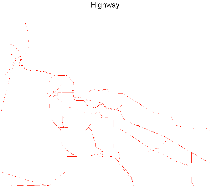
The layer BCHWY represents the location of the major highways in the region.
Areas within 3 km of the highways are considered, a buffer operation is used to indicate the areas within this distance. The result is called NEARHWY.
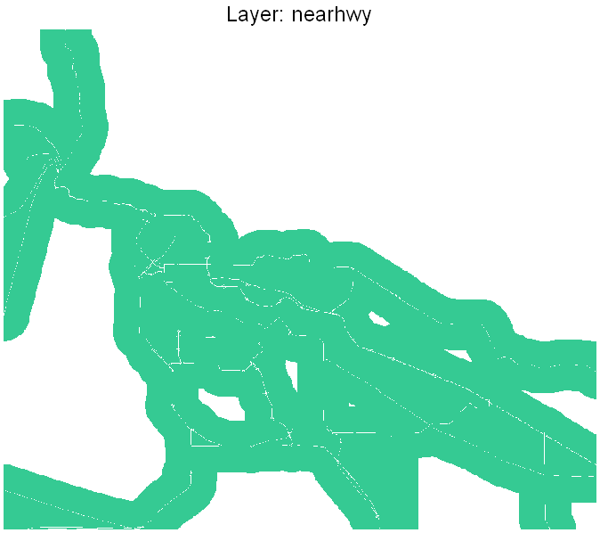
This layer is produced where the value of the buffer zone is 1, the rest is 0.
Copyright © Nicholas Y. L. 2008
Department of Geography
Simon Fraser University