Methodology
The b est approach for finding the areas that are most suitable for a new residential development on Hawaii's Big Island seemed be to do a multicriteria analysis. This would allow for many different datasets, in the form of constraints and factors, to be used as input and it would allow for the creation of output in the form of a suitability range.
The criteria used for choosing a suitable location were as follows:
- Suitable landuses for building are agricultural, shrub and brush rangeland, and forest
- Must not build on economicallyimportant agricultural land
- Should have a low density of endangered plant life
- Should have low brush fire risk
- Should have low volcano risk
- Should not be in a tsunami evacuation area
- Should be close to a major road
- Should be close to other residential areas
- Should be close to commercial areas
- Should be at least 100 meters from a restricted watershed
- Should have a slope less than 15%
Constraints:
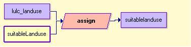
Suitable Landuses:
To create this constraint file, the module ASSIGN was used to assign a value of 1 to all parts of the map with a landuse value corresponding to one of the suitable landuse categories.
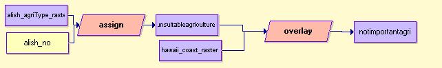
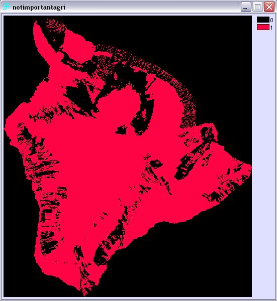
Not Important Agricultural Land:
This file was created using the alish raster file. Alish.rst had the following categories:
1 - Prime land -very well suited for agriculture
2 - Unique Agricultural Land - very well suited for production of specific, high-value food crops
3 - Other Important Agricultural Land - agricultural land that is not as good for crop production
ASSIGN was used to give a value of 0 to every location that was within any of the three zones and 1 to everything else. This gave the water outside the island a value of 1 as well, so OVERLAY was needed to chop off areas that were not actually part of the island.
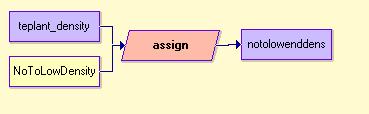
Low Density of Endangered Plant Life:
This file was created using data from tePlant.rst. ASSIGN was used to give a value 1 to the zones with either no endangered plants, or a very low density of plants.
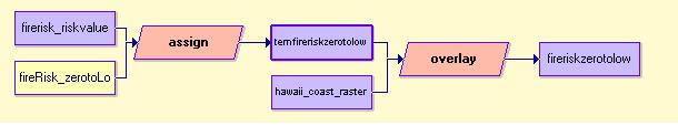
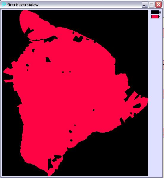
Low Fire Risk:
This constraint file was created using fire_risk.rst. ASSIGN was used to give a value of 1 to each area with either no risk of fire, or a very low risk. This gave a value of 1 to the ocean around Hawaii, so OVERLAY was used to remove that section of the map.
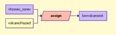
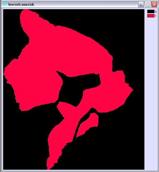
Low Volcano Risk:
This constraint file was created using the data from vhZones.rst. ASSIGN was used to give a value of 1 to every part of the Big Island that was not located in a high risk zone.
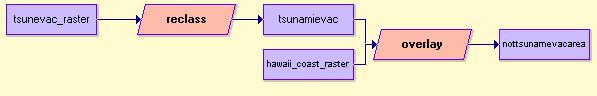
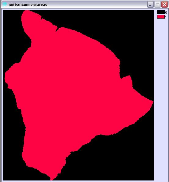
Not in a Tsunami Evacuation Area:
This constraint file was created using data from tsunevac.rst. A value of 1 was assigned to every location that was not within an evacuation area. OVERLAY was then used to mask out the sections of the map that were not on the land.
Factors:
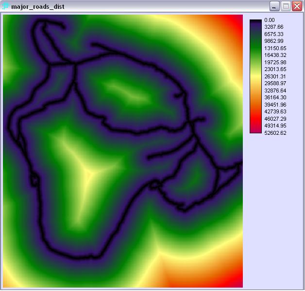
Major Roads:
In order to add a factor for distance from a major road, the raster file, major_roads.rst was needed and DISTANCE was used to calculate the distance of every point on the map to a major road.
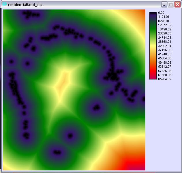
Residential Land:
The DISTANCE of every point from a residential landuse area was also calculated this way.
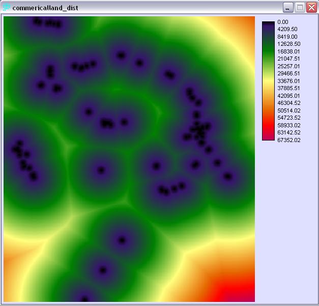
Commerical Services:
DISTANCE was used here again to calulate the distance from commercial landuse areas.
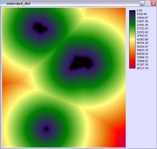
Restricted Watersheds:
DISTANCE was used here, to calculate the distance from any restricted watersheds.
Slope:
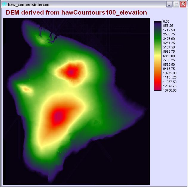
The original plan was to use a DEM of Hawaii's Big Island in order to calculate the slope values for this factor, however, this information could not be located in a format that was available for free. For the purposes of this assignment, it was not necessary to have extremely accurate slope information because the data was only going to be used to get an approximate idea of the locations of slopes that are too steep to allow for building. The idea of using land with a slope of less than 15% is an approximate anyway, so, in this case, using an estimate of the slopes using a contour map would be acceptable.
The module INTERPOL was used to calculate the approximate slopes of all areas on the island using the data from my contours raster file.
The parameters specified, as part of the multicriteria analysis, for the creation of a factor image using the module FUZZY were as follows:
| Factor | Mem. Func. Shape | Mem. Func. Type | Control Points |
|---|---|---|---|
| major_roads | symmetric | j-shaped | a=0, b=800, c=5000, d=10000 |
| residentialLand | monotonically decreasing | j-shaped | c=5000, d=12000 |
| commercialLand | monotonically decreasing | j-shaped | c=7000, d=15000 |
| restrictedWatersheds | monotonically increasing |
sigmoidal | a=100, b=800 |
| slope | monotonically decreasing | sigmoidal | c=0, d=15 |