|
View Methodology Part 1 |
View Methodology Part 2 |
||||||||||||||||||||||||||||
|
Methodology Part 1 of 2 To locate suitable street racing sites a number of constraints and factors must be defined before the analysis can be done. Constraints are the boundaries or limits in which the evaluation is done and is expressed in Boolean logic maps. This means that areas excluded from consideration will have a value 0 and those areas which are in interest will have a value of 1. Factors are criterion that enhances or detracts from the suitability of a specific alternative for the activity under evaluation. In this project, there are 2 constraints and 3 factors that are part of the analysis. The factors and constraints I choose were under the assumption where street racing will typically take place at night, on major roads, and in open and sparse locations. Constraints Landuse Using landuse as a constraint will narrow down which parts of town a likely street race will take place. For example, street racers usually would not want to race in a dense part of town because it will attract too much attention. Therefore I chose land that was fairly open and sparse: agricultural land, open and undeveloped areas, recreation and protected natural areas, rural residential areas, and transportation, communication and utilities areas.
 Land Constraint Model Roaduse This is the most important constraint because this constraint will limit all possible locations to just be on the roads. I have identified that a likely street race will occur on freeways, highways, and major roads because a drag race would need a fairly well maintained road and wide enough to accommodate at least two cars in order to race side by side at high speeds. By combining all three types we can set our constraints within these roads. (ie. Downtown constraint)
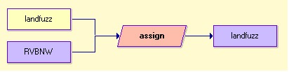
 Road Constraint Model Factors Landfuzz
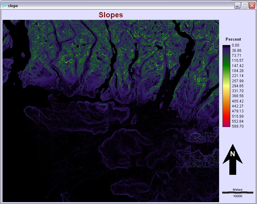
 Landuse Selected Suitability Model Slope A street race or drag race is usually on fairly flat land and slope will be a contenting factor in a race like this. Using the GVRD_DEM from Lab work and using a surface module to convert it into slope, the suitability here goes from 0-10% where anything in that range is deemed suitable for racing.
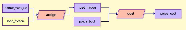
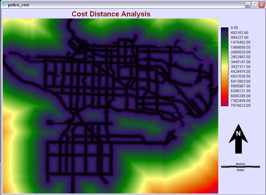
 Slope Model Police stations  Police Station Model Then it was reclassed under one category instead of separate stations, where it is then used as points of reference image for a cost distance analysis. The cost distance image tells us the how far the police station is along the roads. However, the scale on the cost distance image is too great and needs to be rescaled to fit under the specified requirements. With 1 unit = 12 meters in the real world, then 4 km will be approximately 334 units. This would tell us all the areas with police influence for a distance of 4 km. | |||||||||||||||||||||||||||||


.jpg)


.jpg)