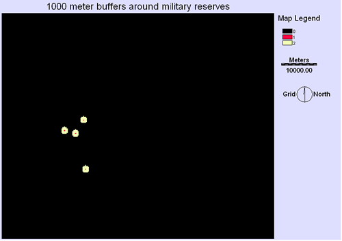
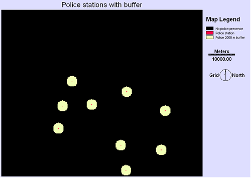
POLICE and MILITARY CONSTRAINT
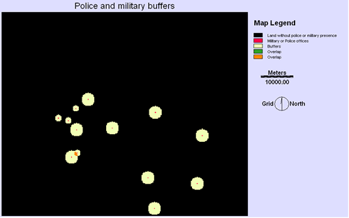
The two buffer maps were over layed to create one single map with all the buffers.
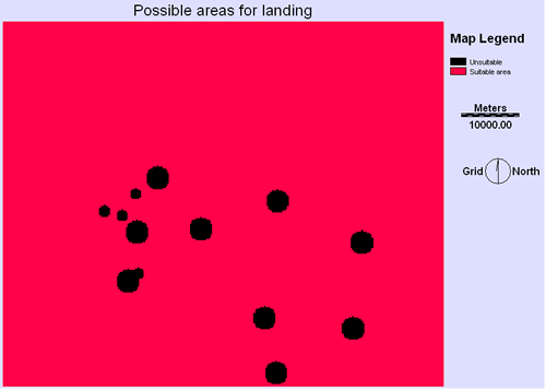
This map would be combined with the slope and vegetation map to narrow down the area suitable for landing.
| Home | Background | Sources | Methodology | Spatial Analysis | Problems | Final plan |
|---|