| Home | Background Research | Data Acquisition | Spatial Analysis | Results | Errors & Problems |
|---|
My analysis used distance, buffer, reclass, and MCE operations. MCE was used at the end of the analysis and gave me a final suitability map that showed my constraints and my weighted factors. I based my spatial analysis the new community centre will be accessable to most of the public by public transportation.
I would have liked to include different types of data in the analysis. Different types of spatial modules would have added to the scope and sequence of the analysis but I was unable to find any additional data. Capacity( of current Community Centers) and usage data from community centres would have been a helpful data set but I did not find any data of that type. Also I could have incorporated Income data into my analysis. This would require a hypothesis that people with a lower income and lower socio-economic status use the community centres more often then the people with a higher income.
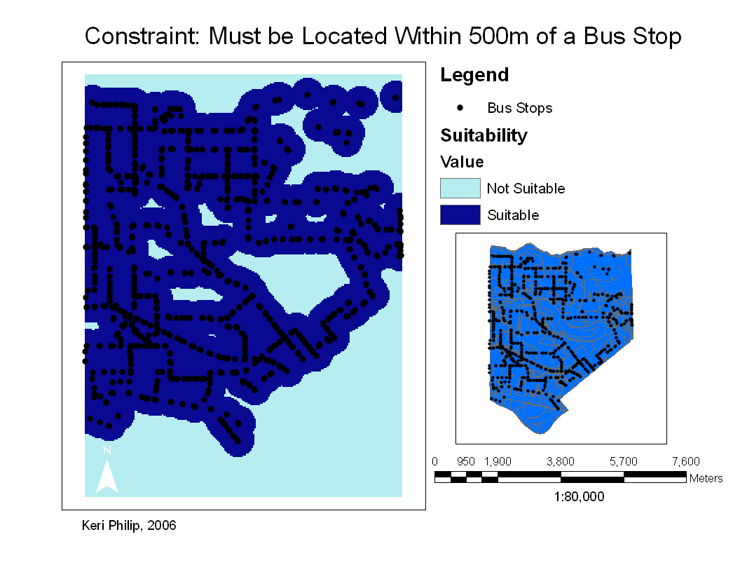
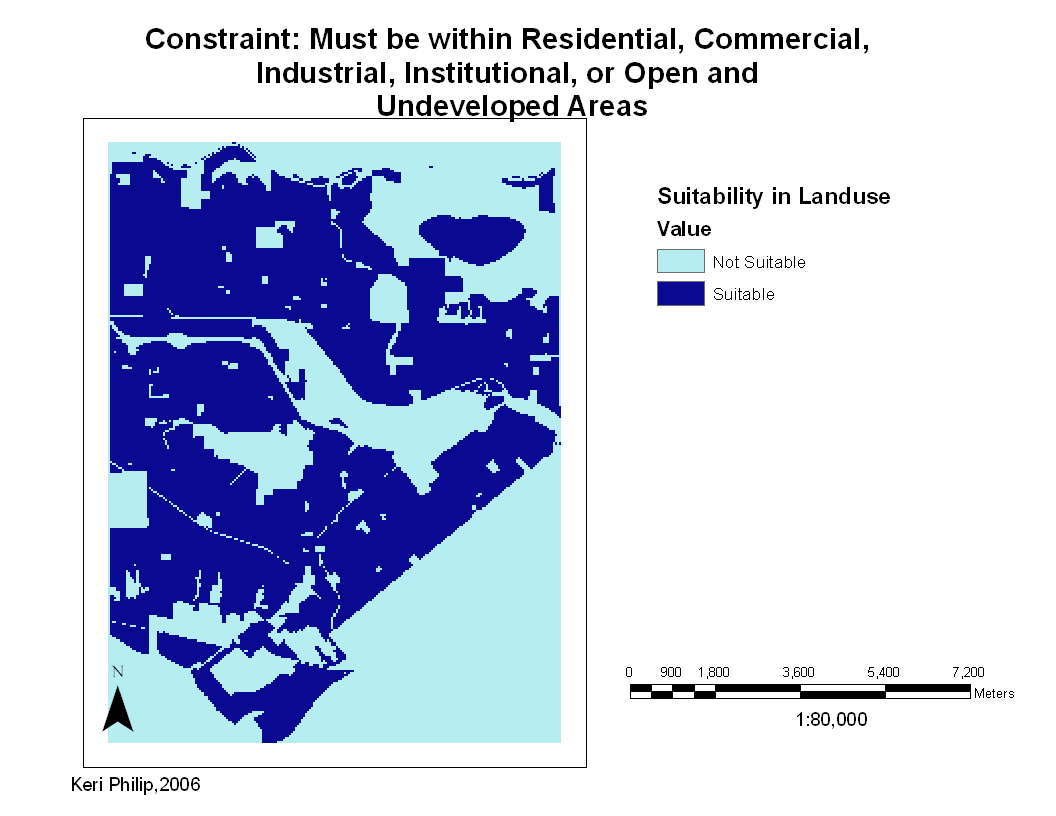
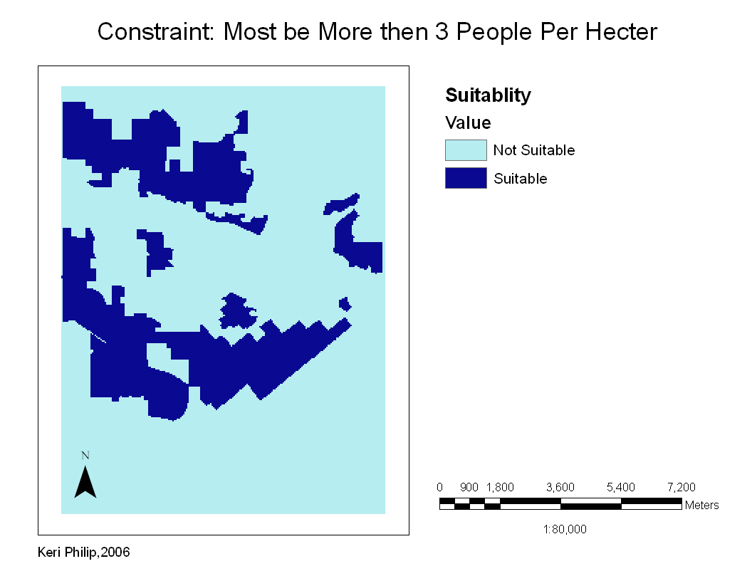
These are my three final constraint maps. Click on them for enlarged image.
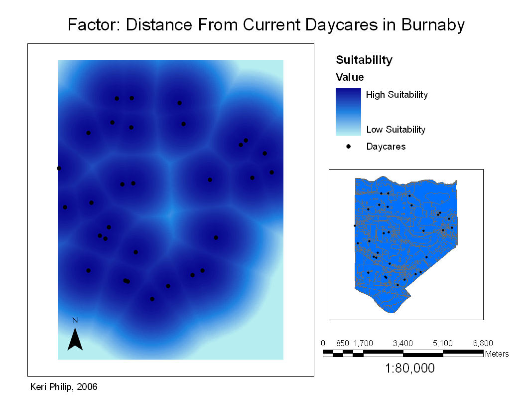
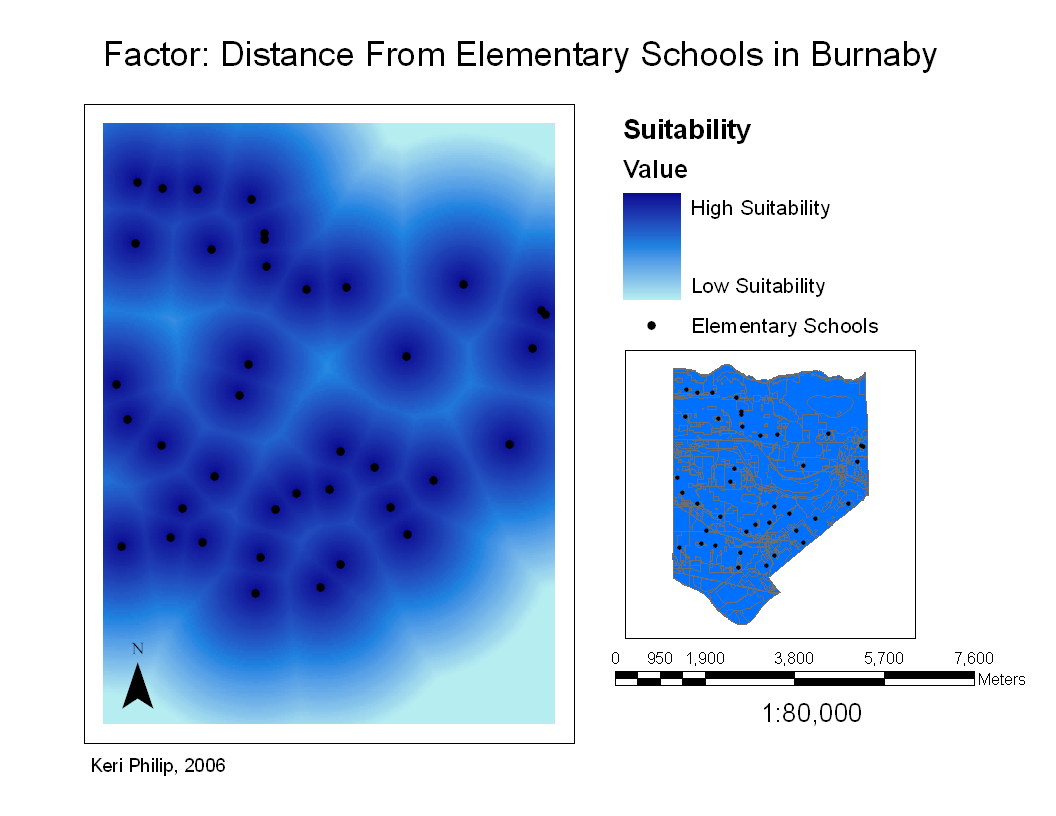
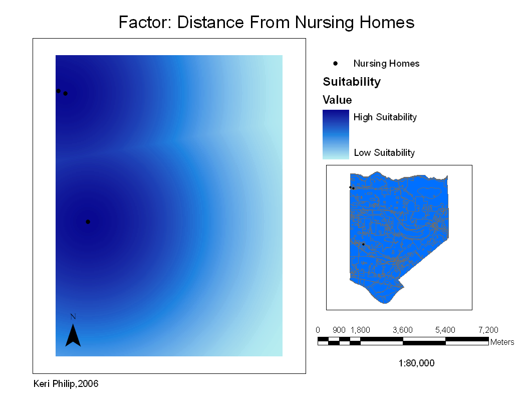
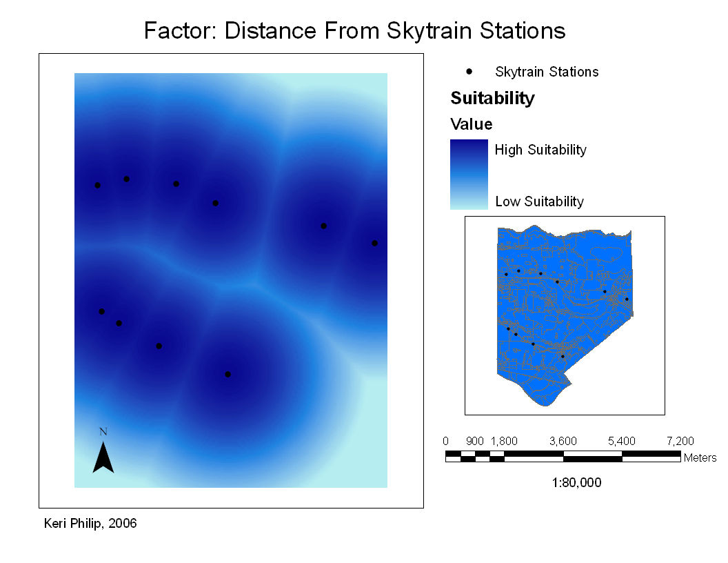
These are my five fuzzy final factor maps. Click on them for enlarged image.