Results
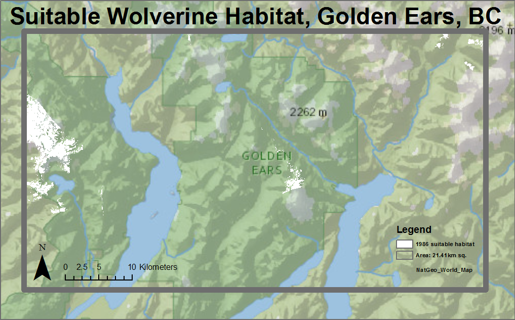
Areas of suitable habitat for wolverines were established for the Golden Ears region of southern BC. These regions were imported into ArcMap in order to create an appropriate visualization of the regions where wolverine habitat could theoretically occur.
The resultant images show clearly where wolverines might be able to make their burrows each year.
1986
1990
1999
2006
2010
The area of suitable habitat for each year was calculated before and after human infrastructure effects were subtracted from the suitable areas:
1986: With Roads - 21.41km sq.; Without Roads - 174.71
1990: With Roads - 27.92km sq.; Without Roads - 285.27
1999: With Roads - 38.69km sq.; Without Roads - 403.45
2006: With Roads - 31.66km sq.; Without Roads - 280.99
2010: With Roads - 27.18km sq.; Without Roads - 230.72
