|
|
Starting from Burrard Station in the downtown, the first run could not cross False Creak, and so it took an unfortunate trip through downtown Vancouver and crossed the current Skytrain… obviously not acceptable. |
|
|
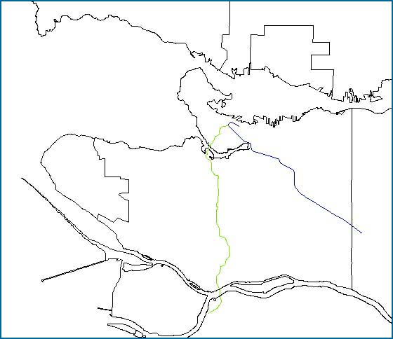
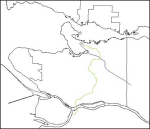
Again starting from Burrard Station, a path across False Creak was added with a value of 1 (therefore very highly favoured). This run gave a good result which essentially ran down Oak Street. |
|
|
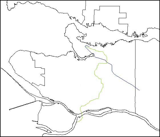
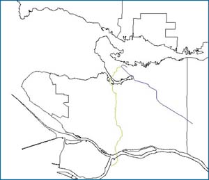
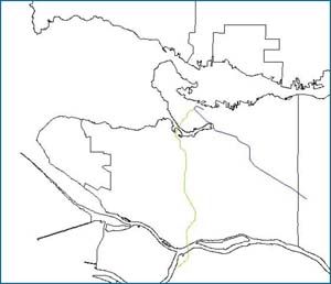
This run started from Main Street station and gave a fairly erratic route essentially between Main Street and Knight Street until cutting back over to Oak Street towards the airport. It was essentially because of this route that the reclassification of the data was undertaken in an attempt to smooth the course. |
|
|
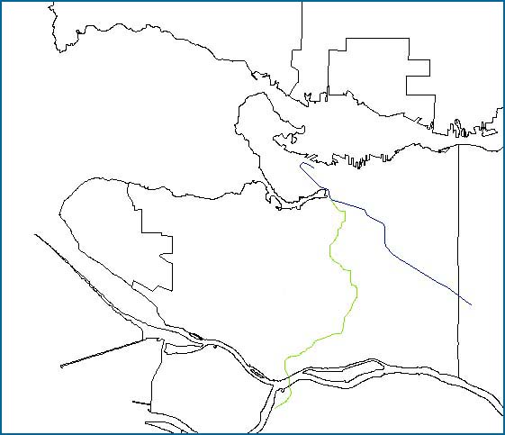
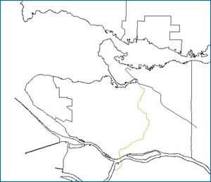
The reclassification of the data certainly smoothed the path from Burrard Station, but it did not alter the course significantly. |
|
|
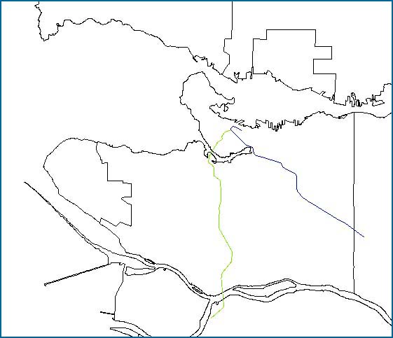
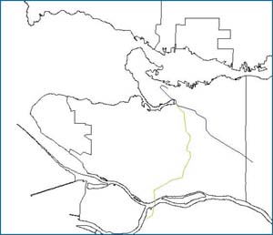
The reclassification of the data altered the course of the path from Main Street station to make it more acceptable. |