Conclusion
[Main]
[Background]
[Outline]
[Methodology]
[Analysis]
[Problems]
Obviously this method of determining the route for a skytrain expansion only takes into account one criteria, and is such ultimately unacceptable. However, routing through densely populated areas lends into self well to the analytical abilities of a raster GIS. Putting in other criteria such as wanting it to run next to a particular park or through a specific shopping center (which could be done by establishing specific waypoints) would be very deterministic, and limit the usefulness of this specific spatial analysis.
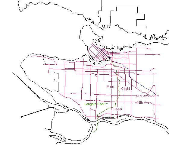
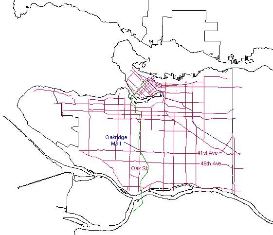
Of the two choices that I've presented here, I feel that the Burrard Station option is the best, because it diverges a far greater amount from the existing train, and it travels directly through Oakridge Centre. However, the Main Street Station route does have the advantage of not running parallel to an existing transportation route (i.e Oak Street)and it does not have to travel through downtown and across False Creak.