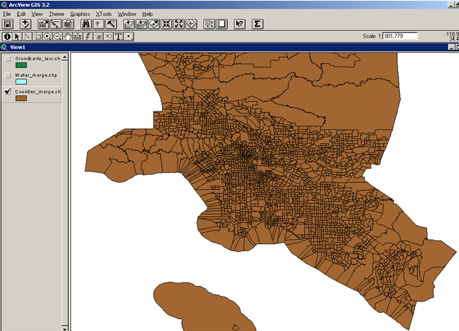
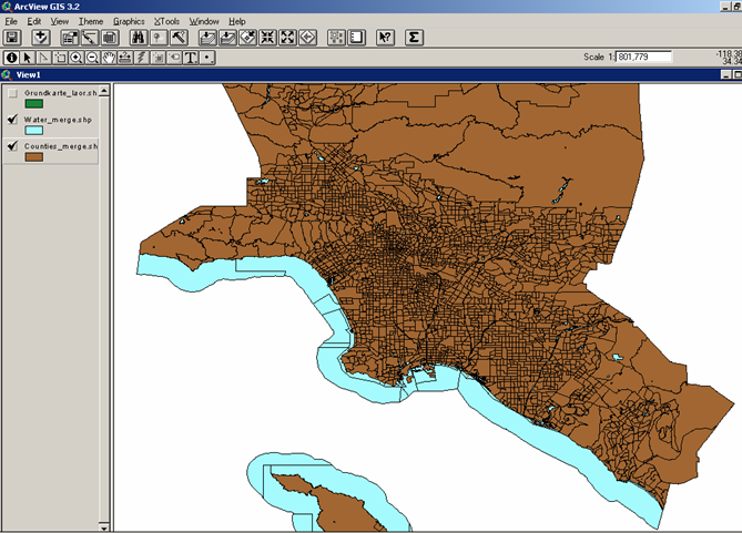
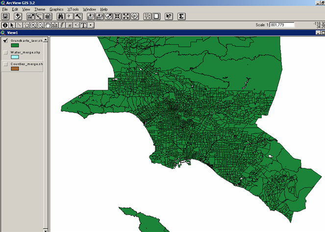
After opening the shapefiles downloaded from the U.S. Census
Tiger Files in ESRI's ARCView 3.2, I noticed that
they had to be processed further. The counties layer included areas
that are actually water. Therefore I needed the ArcView extension "
XTools 6/1/01 ". I chosed the option 'Erase Features' to cut off
the water parts, specified 'counties_merge' as the theme that contains
features I wished to erase and 'water_merge' as the polygon theme that
should be used to erase features from the previous theme. The resulting
map layer formed the basic map I needed to go on with my work.


The census data exists in *.csv format and was processed
by me in MS-excel. The main procedure was to change the
absolute into relative numbers so that they are comparable between
the single census tracts. Generalization was necessary so I arranged
the data into groups, e.g. there is data for every household size (one
person, two persons, etc.) but I did not need that kind of detail.
Excerpt of main table:
Excerpt of main table:
|
Tract ID |
Number of Households with Public Assistance Income |
Percentage of Households with Public Assistance Income |
Total Population |
White alone |
Percentage of Whites |
|
1011.10 |
64
|
3.91 |
4,500 |
2,638 |
58.62 |
|
1011.20 |
23 |
1.91 |
3,280 |
2,429 |
74.05 |
|
1012.10 |
253 |
12.29 |
6,066 |
2,496 |
41.15 |
|
1012.20 |
145 |
11.52 |
3,028 |
1,568 |
51.78 |
|
1013 |
26 |
1.75 |
3,974 |
3,126 |
78.66 |
After preparing the data in excel I saved them in *.dbf(IV)
format, added the table to my ArcView project and joined it with the
attribute table of my view. In order to make the join lasting, I had
to save the view and the joined tables as a new shapefile.
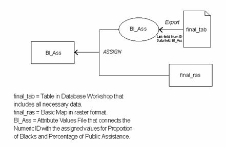
Afterwards I converted the shapefiles into IDRISI32
vector format and afterwards into raster. The database file was
imported into IDIRSI's Database Workshop and then processed further.
For the creation of the maps I exported each needed values (*.avl)
file and used it to assign the values to my basic map.

