(img.1)
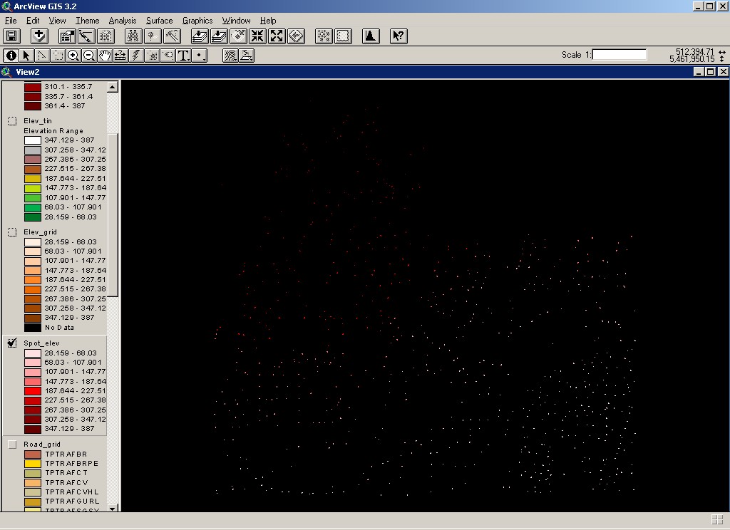
The AUTOCAD file contained several layers from which I
had to extract the relevant data. The spot elevation data was of particular
importance because I did not have the DEM model to work with. As a result,
the DEM model was to be generated from the spot elevation value data (img.2).
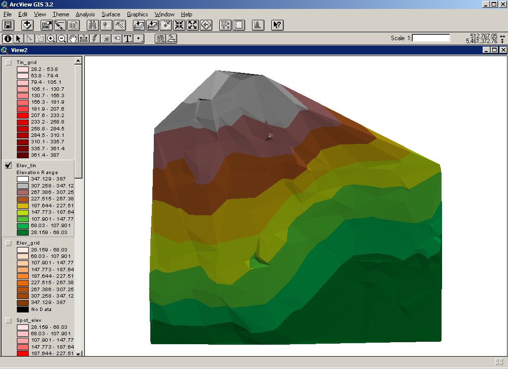
Initially, the spot elevation had to be selected from the layers of data
to create the Grid Model. From this Grid Model, the TIN model (img.3) was
subsequently created to give the approximate terrain model. Although the
TIN model cannot possibly substitute the real DEM model, it was the closest
terrain model I could get my hand on. This process was absolutely necessary
as I have no method of creating the DEM model directly from the vector
point data by itself. Thus, the generated elevation model had to be imported
from the ArcView. The majority of pre-analysis tasks thus took place in
ArcView format which allows more flexible manuevoring of the vector data.

(img.1)

(img.2)

(img.3)