| Data Collection |
Most of the data acquired for this project was obtained from the SIS lab (s:\\drive). The original source for this data was from the VanCORE website: http://www.gis.luco.gov.bc.ca/slup/vanisle.html Additional data on population densities for the major cities on Vancouver Island was found at http://www.bcstats.gov.bc.ca/data/pop/pop/mun9600a.htm and data showing the magnitude, location and date of earthquakes in these cities over the last five months was found at http://www.pgc.nrcan.gc.ca/seismo/recent/swbc.1yr.list.html .
As well, I digitized the point locations of the seven major cities: Courtenay, Duncan, Nanaimo, Port Alberni, Port Hardy, Sidney, and Victoria from the 1995/1996 edition of the Vancouver Victoria, British Columbia Road Map with a scale of 1:1,300,000.
The various raster and vector layers from the s:\drive that I used for
my analysis include:
|
dem.rst hydrline.vct isldhwy.vct lakes.vct landuse.rst m_roads.vct vanisle.rst |
 |
|
|
All of the above layers were already in Idrisi format so they did not have to be converted into Idrisi to be viewed. However, many of the layers were missing metadata which had to be acquired at the VanCORE website: http://www.gis.luco.gov.bc.ca/slup/vanisle.html and converted into Idrisi32. As well, eventually all of the vector layers were converted into raster format to perform analysis on them. The reference units for these layers had to be converted to UTM coordinates rather than plane coordinates so they would comply with the data from the VanCORE website. Also, the number of columns for the raster grid images had to be set at 415 and the number of rows set to 311 for all images in order for me to perform overlays between layers. As well, the locations of major cities had to be digitized in by hand from a road map, as did the city names in order for me to perform analysis on distance from cities.
The pictures located throughout this web page were found at the following sources:
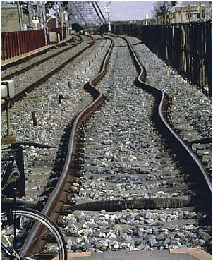
Building Damage Pictures (main page) and Bent Railway Picture (data collection page)- http://images.google.com/images?q=earthquake+damage&num=20&hl=en&start=180&sa=N
Vancouver Island
Map (introduction)-
http://images.google.com/images?num=20&hl=en&q=vancouver+island
Seismograph Picture (main page)- http://images.google.com/images?num=20&hl=en&q=seismograph
All other images
-
http://images.google.com/images?num=20&hl=en&q=earthquake+&btnG=Google+Search