|
|
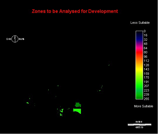
The first step was to create the image of zones up form cnsideration. These zones were weighted according to their availability for development. Both develpment zones and null zones were included for analysis. These were weighted according to their potential. All zones not under consideration were given a value of zero.
 |
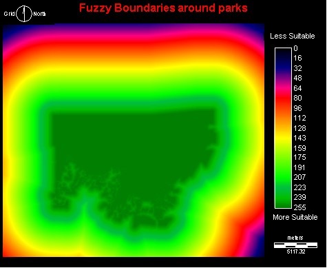 |
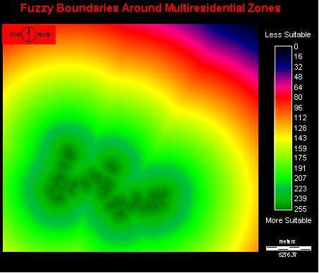
In the weighted linear combination, the factors (parks, elementary schools and multiresidiential zones) were compared against the constrainsts of industrial zones, development and null zones, and buffers around creeks.
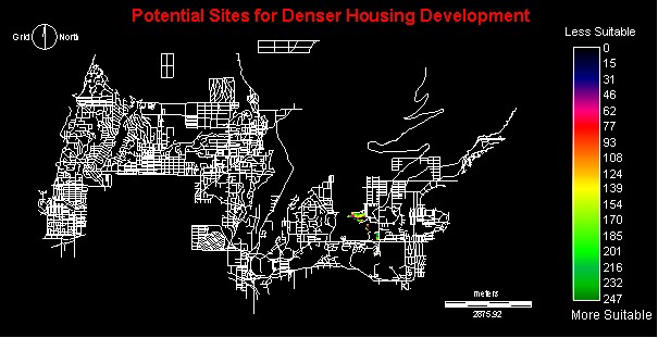
The Resulting Image