Part Two:
Surfaces
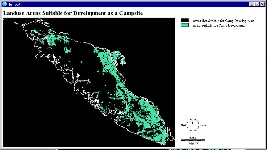
A friction surface was created using a
Landuse image and a table of friction values that I created. The
LU_SUIT file (fig. 5) is a reclassification of this friction surface.
Fig. 5
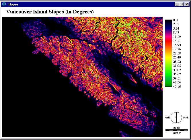
The SURFACE operation was used to create the following image. A Digital Elevation Model (DEM) of the Vancouver Island Region was used to determine a slope surface. As campgrounds are best developed on relatively flat terrain (using fig. 6 as an input), I used RECLASS to find areas with slopes between one and ten degrees.
fig. 6
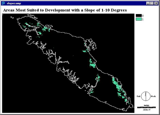
SLOPECAMP (fig. 7) is the result of overlaying figure 4 (SUITABLE), figure 5 (LU_SUIT), and the image created using figure 6 (SLOPEBOOL). This image was grouped (using the GROUP operation) and the area was determined (using the AREA operation in square kilometers) to derive an area that was between 2 and 400 km2. The area for development of a new campsite should be at least 2 km2 in size. Most camping venues are about 0.5 km2, however provincial campsites are usually larger and require more space for wildlife, washrooms, group campsites, and other facilities. The resolution of data is 1 km, constraining the analysis, therefore, an area of 2 km2 should be sufficient.
Fig. 7