SLOPE CONSTRAINT
To find a suitable area, we eliminated any area that was not possible to land a space ship. This would be areas greater than a 5% slop
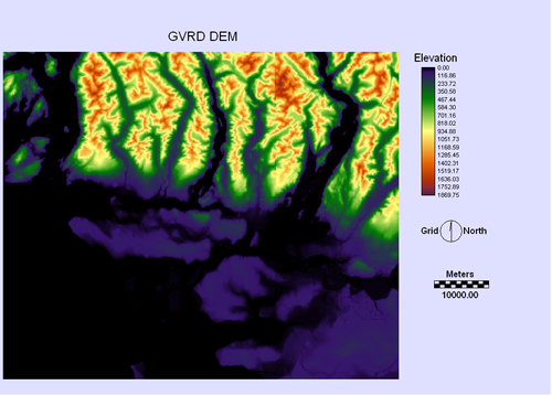
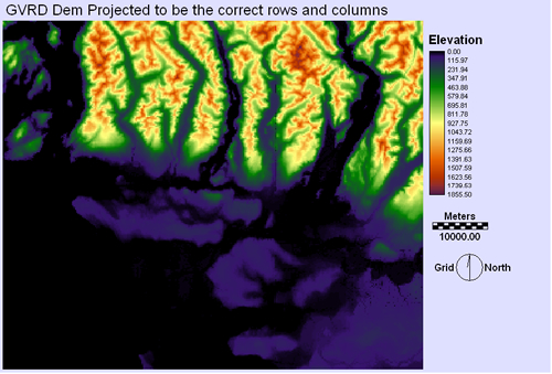
The GVRD DEM that was taken as is from the Data Warehouse files needed to have the correct rows and columns to allow for future spatial analysis.
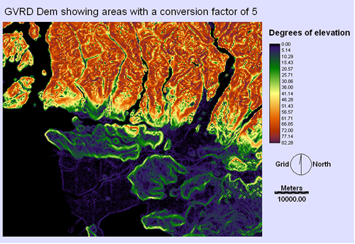
Once the columns and rows were set, the slope module of IDRISI was used to find the slope areas with a conversion factor of 5.
By finding the conversion factor, we were able to show areas that had up to 5% slope, and therefore flat enough to land our ships.
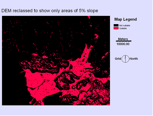
Using the DEM slope 5% map, we combined it with the vegetation constraint boolean and created a boolean of relatively flat and vegetation free land.
| Home | Background | Sources | Methodology | Spatial Analysis | Problems | Final plan |
|---|