GVRD CONSTRAINT
Our goal is to infiltrate the HRMSC. Distance wise, we felt it would be better to land in the GVRD so the travel time it would take to get here would be reasonable.
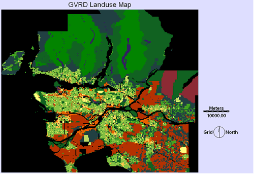
This is a rasterized and converted map of the gvrd_landuse_2001. There is no legend because it is not necessary in the following step where the areas that are the GVRD are reclassed.
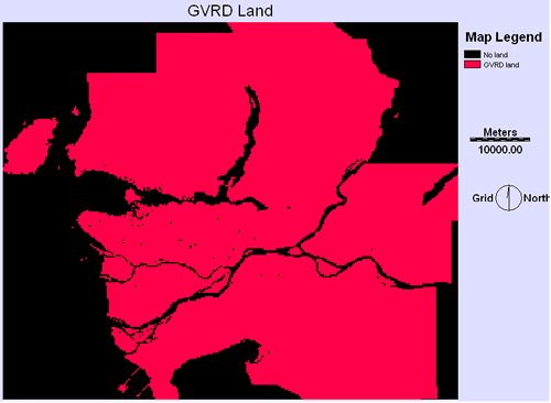
This boolean image of the GVRD is the basis for setting the outer boundaries on any factor or contraint used in the spatial analysis.
This is the base map where all the other constraints and factors would be based on.
| Home | Background | Sources | Methodology | Spatial Analysis | Problems | Final plan |
|---|