
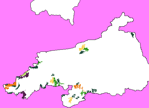
To the left is an inset map of the one above, showing the areas in greater detail.
|
|||||||||||||||
|
|||||||||||||||
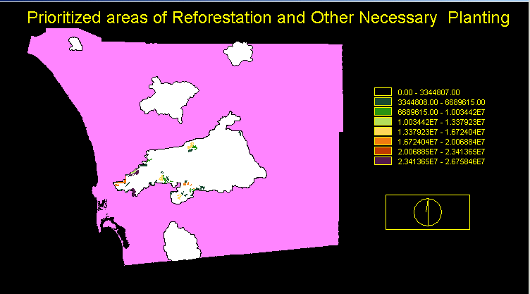
| The magenta areas represent the County of San Diego, and the white polygons represent the fire perimeters. The coloured polygons inside the fire perimeters are the areas that should be considered for reforestation or other planting as marked by the legend. The further down the legend, the great the reforestation/planting priority of the area of land.
To the left is an inset map of the one above, showing the areas in greater detail. |
|||||||||||||||
|
|||||||||||||||
| Inset | |||||||||||||||
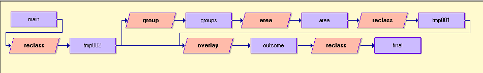
| This is the maco model used to determine the final step of analysis, resulting in above concluisions. | |||||||||||||||
|
|||||||||||||||
| Macro model used for grouping | |||||||||||||||