7) To do a least cost pathway analysis you will first need to
have a raster layer that you can use and an atribute file to
use to calculate friction distance. I had to create both.
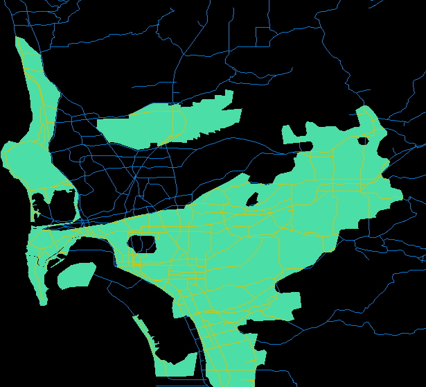
I overlayed the 'roads' image (boolean + ) on both the
'militarybool' image and the 'cities' image. I then overlayed
(boolean + ) the resulting images on each other.
citymilirds.rst

This image combined with the attribute values file (which gave
friction values for each class) using the function Assign gave
us a friction values image to work with.
friction.rst