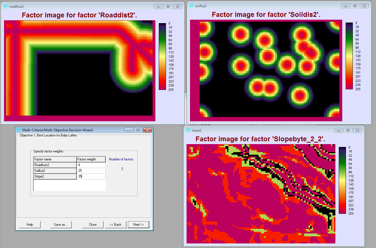
Distance to Road, Soil and Slope:
All the data was transformed into Raster data and imported into Idrisi, each raser file was made into a Boolen map and then the Distance operation was applied to them. These are factors with fuzzy boundaries and their importance either increase or decreases according to distance from the factor.
