Interactive Cartographic Model


This page is designed to guide the viewer through the steps involved in this GIS analysis. Layers with a happy face underneath can be clicked on to see the image. Use the back button in your browser to return to this page
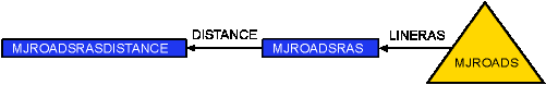
These are the first steps taken in preparing the original data for use in the analysis. Creating distance layers for layers that used distance as the main criterion and converting the DEM into a slope image were the initial data preparation procedures.