The Purpose of this project is an attempt to
plan a useful and unobtrusive Skytrain path and
stations from downtown Maple Ridge to the future station at Lougheed
Mall to be completed
in the near future in Burnaby.
I chose this project for two main reasons, first
of all, traffic is a major problem and it appears
that affordable rapid transit may be the only acceptable way to solve
this growing problem.
Also, rapid transit would decrease the environmental impacts that cars
are known to cause.
The second reason I chose this topic is much more personal. I
drive from Maple Ridge to
Simon Fraser University, a ten minute bus ride from Lougheed Mall,
every day. My drive is
about 40 km and it takes me about one hour on a good day. This
would remove about 10
hours of travel time per week. The Skytrain would cut my commute
in half plus the time would
be more useful allowing me to read or just relax.
Although the likelihood of the Skytrain coming to
Maple Ridge in my lifetime is small, it is
my opinion that this would be one of the best things that could happen
in the area. That is why
I tried to design it myself.
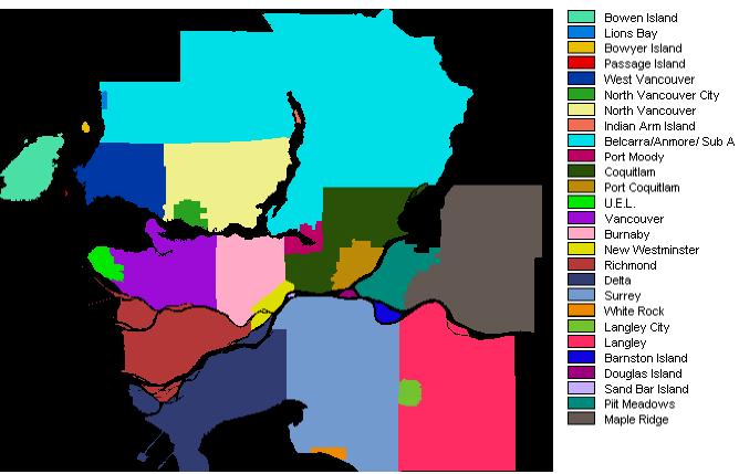
Lower Mainland Region
Skytrain in Vancouver
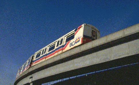
From: http://www.ire.ubc.ca/ecoresearch.skytrain.gif
Construction of the new Lougheed Mall Station
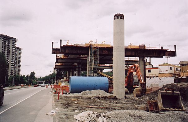
From: members.tripod.com/~geobeck/skytrain/
Go to the Main Project Analysis and Pictures
See My Cartographic Model