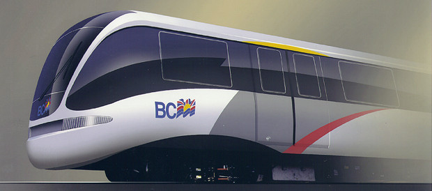
From: http://www.railway-technology.com/projects/airtrain/airtrain3.html
There are, of course, many errors that go with any
GIS analysis. Some of these errors are
the result of the user while others are the result of computer algorithms.
The computer algorithm
type of error is very hard to detect. For this reason I truly
don't know exactly how it affected
my analysis's outcome.
The error in my project likely started from errors
beyond my control. These are errors in
the data that arose before I ever used it. Using the existing
DEM, allroads, landuse, and City
layers undoubtedly added errors to my analysis. It is impossible
to tell how accurate these
layers actually are. It is also impossible to tell, without field
work, what level of generalization
occurred in these layers. For example, do the roads turn exactly
where they should or were
they smoothed out. The same questions are true for the landuse
layer.
The DEM will bring more error into my project.
This is because a DEM is never correct.
It uses some undetermined number of spot height and then interpolates
the rest of the
elevations. The interpolation will be full of errors. Only
if there were many points used
and a high level of user knowledge could the DEM be accepted as accurate.
The resolution of the data is another source of
error. This data has a 50 meter resolution,
which is a fairly large piece of land. Many things change in
50 meters, but none of these
changes would be accounted for in the data. It is also unsure
how each pixel was accounted
for. Was it a highest percentage method, the center of the pixel,
the corner of the pixel, or
some other type of method all together.

From: http://www.railway-technology.com/projects/airtrain/airtrain3.html
After accepting all of the errors that exist within
the data, it is a fact that new errors will be
created while performing the analysis.
This type of error happened in my analysis was when
I digitized the bus routes and the bus
stations. Digitizing is very unprecise already, but when you
digitized using a base map with
an uncertain amount of error, the error from the first map (allroads)
will be sure to propagate
into a much more extreme level of error.
Using assumptions like I did in my project are also
very error prone. Stating that someone
will only walk only 500 meters to take a bus, not one meter more is
not correct. There is no
good way of setting thresholds for people's behavior because all people
are different.
Related to this fact is that there is fuzzy logic with setting these
thresholds. If someone is
500.00001 meters from the bus route they will not been counted as someone
living in a
residential area with access to a bus whereas someone living within
499.9999 meters will be.
There are also great assumptions when reclassing
an area in order to create a cost surface.
It is not always reasonable to say that one landuse type will always
cost the same to build on
while another type will always cost something else. This would
not be true for only the
construction costs, but when you are dealing with humans and their
many differences, the
estimates of these costs would even be less correct.
Although this analysis, like all others, is full
of error, the actual analysis worked almost exactly
as I planned it to. The only thing that was somewhat unexpected
happened when the last track
section from the sixth station to Lougheed Mall was made. The
PATHWAY function took the
route back to almost Coquitlam Center and then went up towards Como
Lake Road.
Although this path was unexpected, it was not all bad. If I had
have known that the route would
go in this direction, I would have built a seventh station on Como
Lake. Unfortunately, I was
too far into the analysis to go back into the station building stage
to correct this unexpected
happening.
Back to Project Page
Back to INDEX