-
Lab 2 - Map Projections.
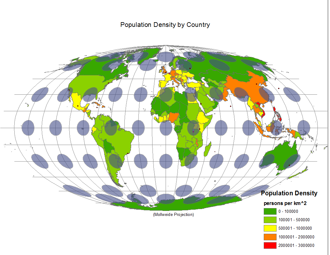
This map uses a Mollweide Projection. This map focuses on maintaining area, while sacrificing shape and distance. This map is used when area is the most important feature, such as when mapping global distributions. I choose this as my first map because it is a good choice for displaying population densities, while also being generally appealing visually.
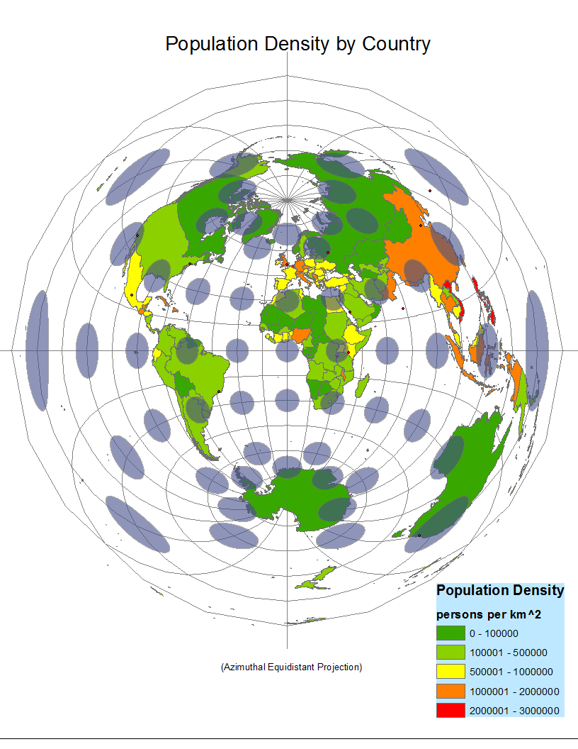
The azimuthal equidistant map retains accurate distance from its center point. It also preserves direction from the center point. Area and shape are distorted. It is particularly useful for flight plans, as long as the map is centered on the point of take-off. This map is an example of something that is not particularly useful for displaying the world, but instead excels on showing on single point, and the area around it.

This map maintains proportional distance along the meridians. This map is only useful for mapping a single hemisphere and has accurate scale at the point of tangency (or points of secancy.) There is a compromise between the distortions of equal area and conformal conic projections.